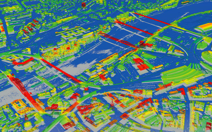
Aerial mapping company Bluesky is working with SkylineGlobe UK on a project that will make high accuracy, photorealistic 3D City Models available as off the shelf datasets and via an internet streaming service. The dynamic 3D models will provide a visualisation and analytical platform for smart city projects, transport / infrastructure planning, development planning and more.
To create these ‘unique’ 3D digital twins, Bluesky is using its hybrid oblique imaging and LiDAR airborne sensor to capture the city imagery. Skyline is then processing and publishing the data into 3D digital twins using its 3D earth visualisation software and services.
If you enjoyed this article, subscribe to our email newsletter or print / PDF magazine for FREE


