Civils.ai uses machine learning algorithm to ‘understand’ geometry, labels and details
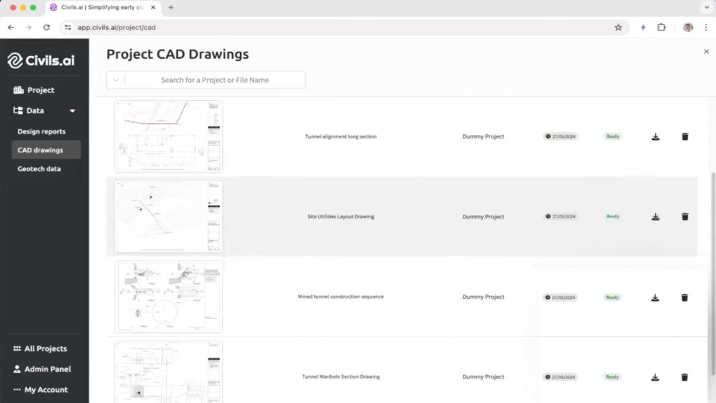
Civils.ai, which uses machine learning to help civil and geotechnical engineers access and organise company data and knowledge, can now ‘understand’ and act on data held within PDF CAD drawings.
The new algorithm can understand the geometry, dimensions, labels, title blocks, and details from a variety of drawing types, including buildings and floor plans, infrastructure and civils, utilities and layouts, and architectural details.
According to the developers users can search for something like “foundation thickness on building type A” and the system will find the thickness by searching through all the project drawings.
One intention is that Civils.ai will be used to build an archive of company design details, that can be used on future projects to avoid redesign.
The platform can also now be accessed on mobile devices, through a web browser, so users can get ‘instant answers’ from CAD drawings, construction sequences, method statements and building codes, when away from their desks.
Civils.ai also has a new sharing and collaboration feature, so users can share an archive with others within their company or team, allowing a wider group of users to search across a project design brief or bid, for example.
The data extraction algorithm has also been improved, so it’s faster to process documents. According to the company, Civils.ai can now process thousands of pages of PDF text or drawings in minutes, although geotechnical documents still take a bit longer.
Civils.ai works by allowing users to upload PDF project documents, such as site reports, contracts or design codes. The software can also be set up to sync with Autodesk Construction Cloud or Sharepoint to capture the latest information, automatically, and start indexing them.
Once the data is in the platform, the AI can process it, in order to generate answers to specific questions posed by users relating to their project. This could be querying deliverable due dates, through to extracting information on geological conditions from site investigation reports.


