Aerial and ground reality capture streamlines progress tracking, trench verification and more across Irish firm’s residential portfolio
Ireland-based home builder Cairn has adopted DroneDeploy’s aerial and ground reality capture platform to enhance project delivery and safety across its housing developments.
According to DroneDeploy, Cairn is now benefiting from faster inspections, higher data accuracy and clearer visibility across more than 25 active residential projects in Ireland.
Cairn’s reality capture programme has scaled from initial pilots to a multi‑year enterprise agreement that standardises the use of drones, 360‑degree cameras and handheld 3D scanning.
Discover what’s new in technology for architecture, engineering and construction — read the latest edition of AEC Magazine
👉 Subscribe FREE here
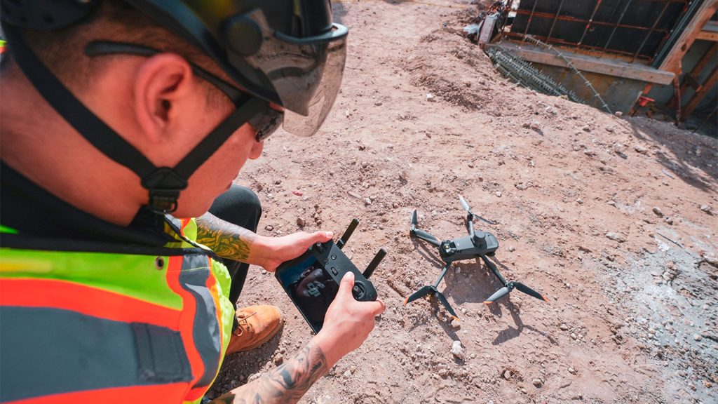
Cairn uses DroneDeploy to capture, analyse and share high‑resolution site data, driving insights on everything from early-stage site assessments and design verification to progress tracking, cut/fill analysis, site logistics, trench documentation and aftercare management.
According to DroneDeploy, by overlaying drawings and work areas directly onto up‑to‑date site imagery, Cairn project teams can coordinate crane locations, haul routes, public interfaces and temporary works with greater confidence, reducing the risk of clashes and rework.
To verify underground services Cairn is using DroneDeploy’s Ground Pro 3D scanning and RTK‑enabled mobile capture. Selected trenches are scanned prior to backfilling, creating permanent, measurable records of installation depth, separation, and overall quality.
Cairn is also testing DroneDeploy’s Progress AI to expand site oversight beyond manual reporting. By automatically analysing visual data from routine walkthroughs, Progress AI enables the business to track installation percentages and verify schedule accuracy “with higher precision”.