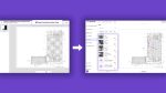
Models can be brought into Rhino, via the Cityweft platform, with support for Revit and SketchUp coming soon
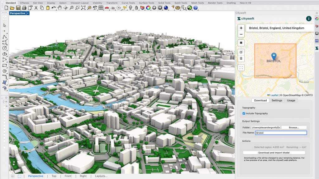
Cityweft has integrated a new LiDAR-based building heights dataset for England into its web-based platform to help architects and planners bring spatial context into CAD/BIM software
The building heights dataset, which covers London, Manchester, Birmingham, Glasgow, Bristol and more, is derived from high-precision LiDAR data collected by the Department for Environment, Food & Rural Affairs (DEFRA) between 2022 and 2025.
Models can be exported via the Cityweft web platform, using the Rhino and other CAD plugins, or data can be accessed through the Cityweft API.
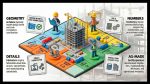
The models can be used for early-stage massing and feasibility studies, planning and stakeholder presentations and competition visuals with realistic site context
According to Cityweft, having accurate building heights enables more realistic city massing for planning and architectural concept work, better environmental analysis for shadow, solar access, and visibility studies and enhanced building volume and form for data-driven workflows.