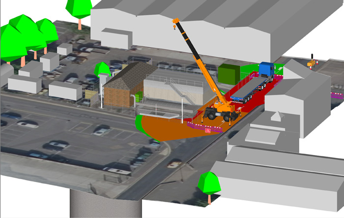
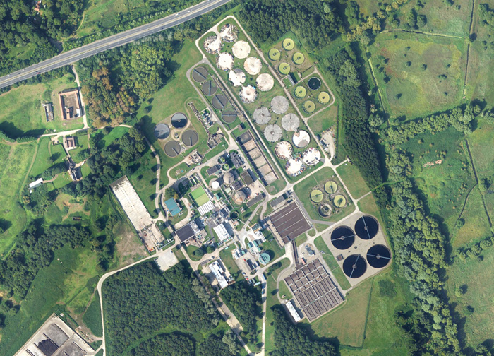
Visualisations used to inform designs, communicate ideas and digitally rehearse build sequences
3D models, derived from aerial photography, are helping Anglian Water design, build and communicate major infrastructure and non-infrastructure asset projects across the east of England. Created by aerial mapping company Bluesky, the 3D models are being used by the @one Alliance, a collaboration of consultants and contractors, to create 3D animations and fly-throughs to inform designs, communicate ideas and gather public support.
To date, the models have been used on a 3-million GBP scheme to upgrade pumping stations and reduce the risk of flooding in Great Yarmouth as well as an ambitious project to relocate Cambridge’s Waste Water Recycling facility to Waterbeach.
“The Bluesky models enable us to create understandable but still accurate visualisations that are used at every stage of the project lifecycle,” says Clare Kovaks, 4D Planner at the Anglian Water @one Alliance. “[They allow] us to digitally rehearse the build sequence, giving the model context. This can highlight potential issues onsite saving time, and therefore costs, and mitigating risk.”
The models are photogrammetrically derived from high resolution stereo aerial photography. They are supplied ready to use in Google SketchUp, and onward use in 4D construction scheduling software Synchro. Geographically accurate, the 3D models also included a Digital Terrain Model (DTM).

If you enjoyed this article, subscribe to AEC Magazine for FREE


