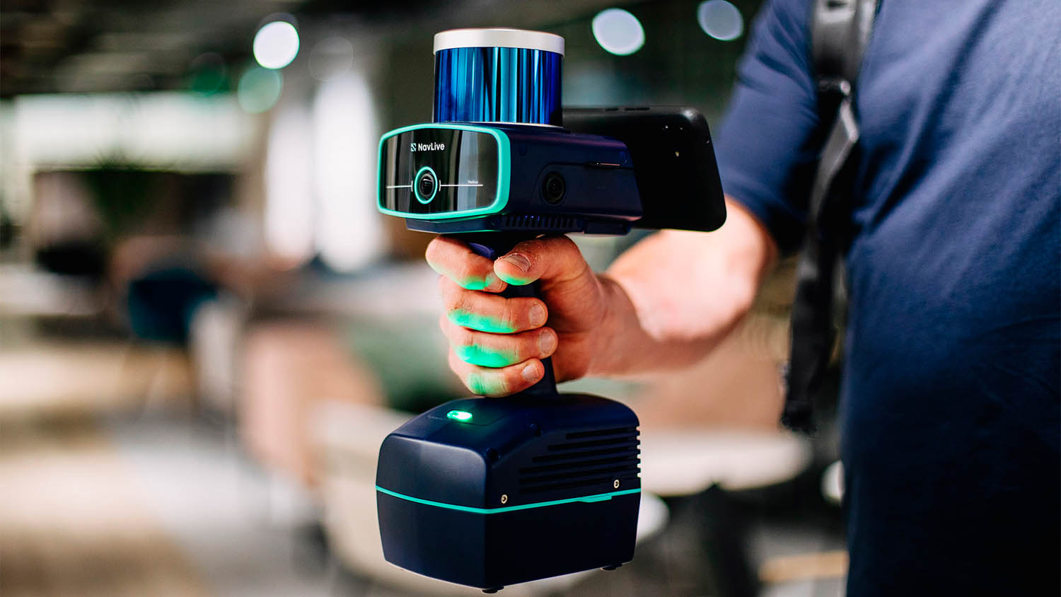
Reality modelling NavLive selects Nvidia to power AI construction scanner Posted by AEC Magazine - October 14, 2025 Nvidia Jetson Orin combines CPU, GPU, and deep learning accelerators to power real-time SLAM and object…
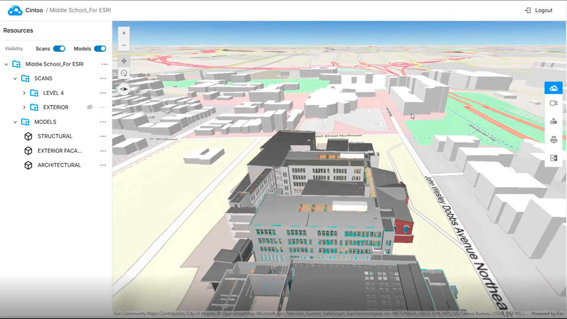
Reality modelling Cintoo launches ArcGIS integration Posted by AEC Magazine - October 12, 2025 Esri Experience Builder Widget for ArcGIS brings high-fidelity 3D scan data to into GIS environment
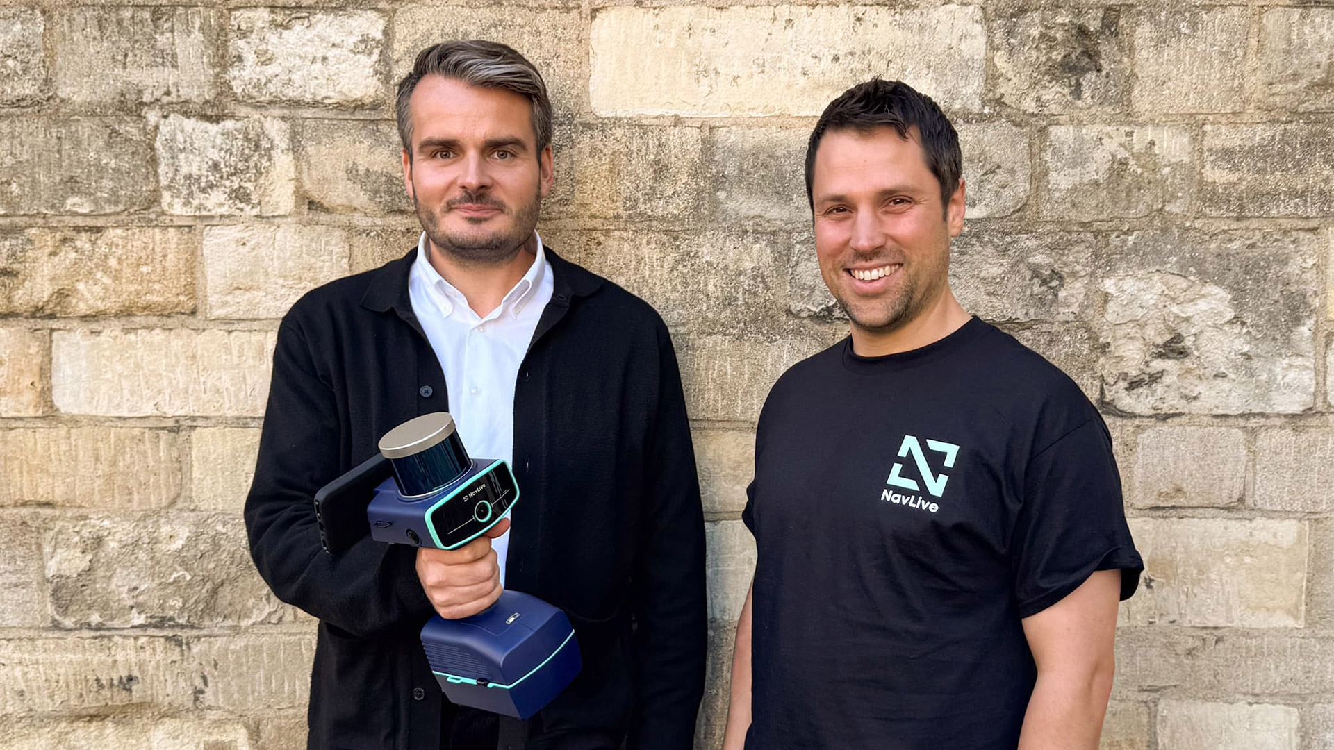
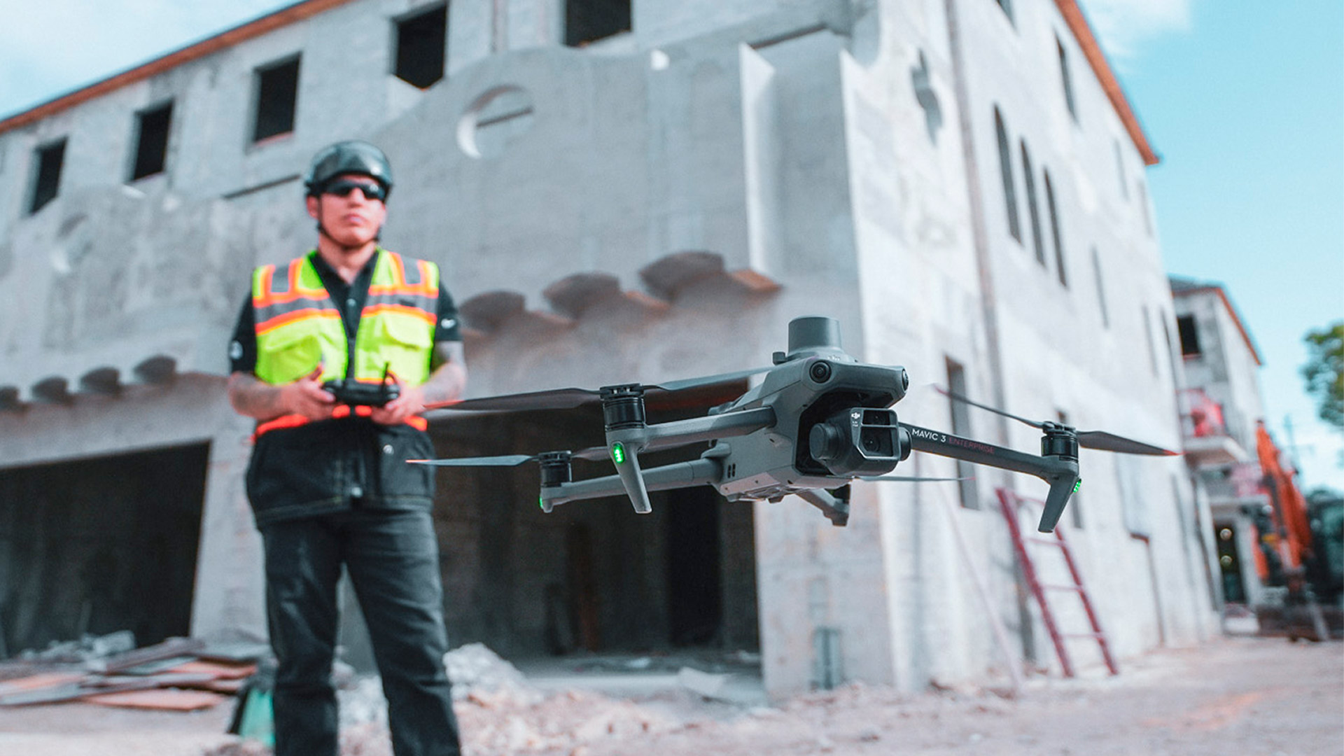
Reality modelling BW partners with NavLive to cut survey time Posted by AEC Magazine - September 24, 2025 UK contractor uses AI-driven 3D scanning technology to deliver complete site plans in hours
Reality modelling Looq AI links to Trimble Business Center Posted by AEC Magazine - September 23, 2025 AI-powered, photogrammetric data capture platform links to ‘field-to-finish’ survey software
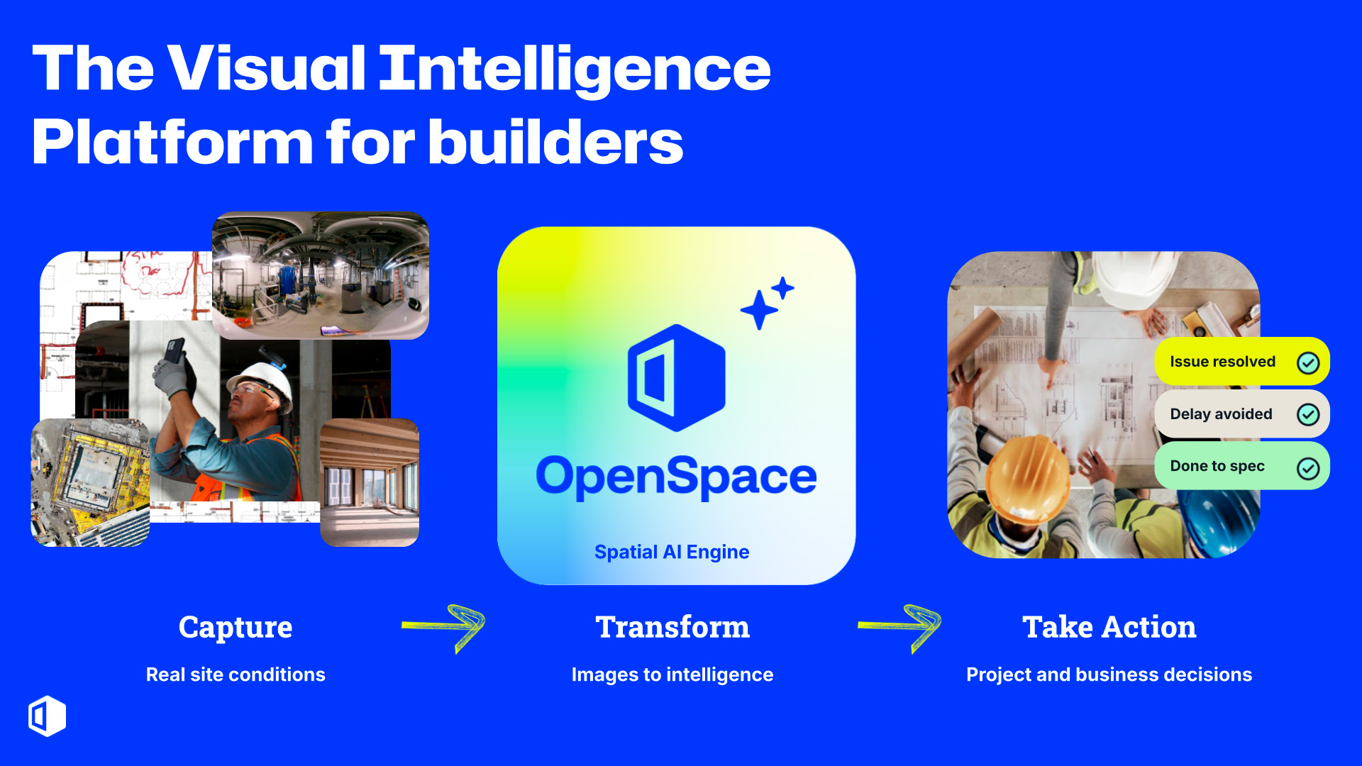
Project management OpenSpace unveils visual intelligence platform Posted by AEC Magazine - September 15, 2025 Image-first platform turns reality data from the field into ‘trusted, actionable intelligence’
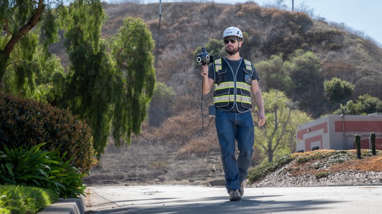
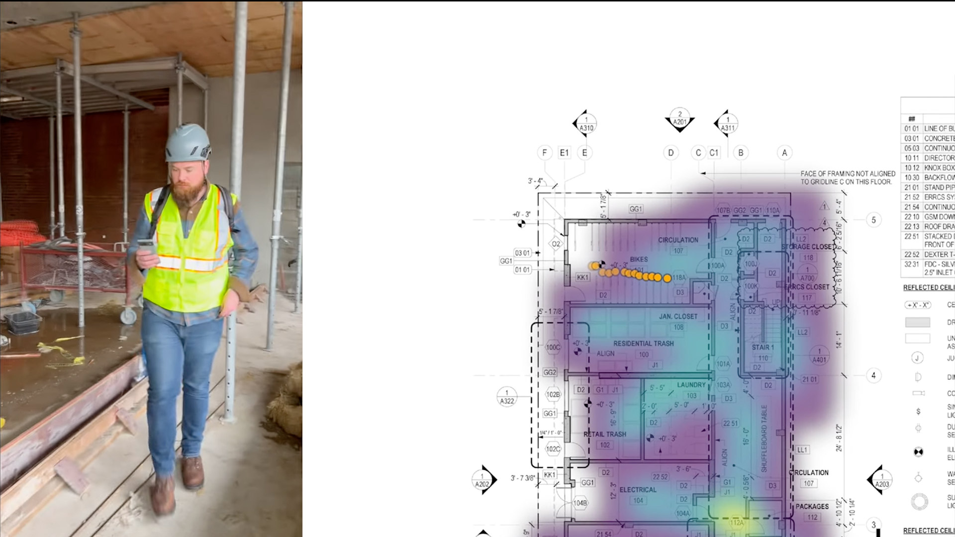
Reality modelling AI brings real-time indoor positioning to smartphones Posted by Greg Corke - September 15, 2025 OpenSpace believes its AI Autolocation technology could ultimately exceed GPS-level accuracy
Reality modelling DroneDeploy raises $15M to drive development Posted by AEC Magazine - September 9, 2025 Reality capture specialist will invest in AI and robotics products
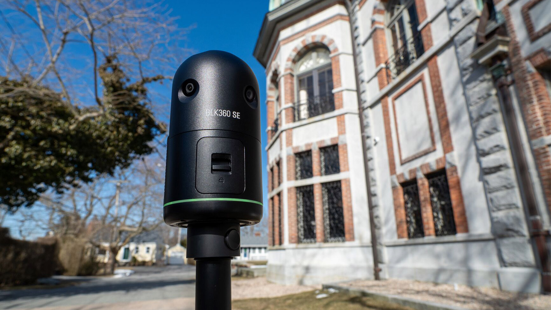
Reality modelling Leica BLK360 SE Essentials launches Posted by AEC Magazine - July 24, 2025 'Cost-effective' all-in-one reality capture solution combines laser scanner and software
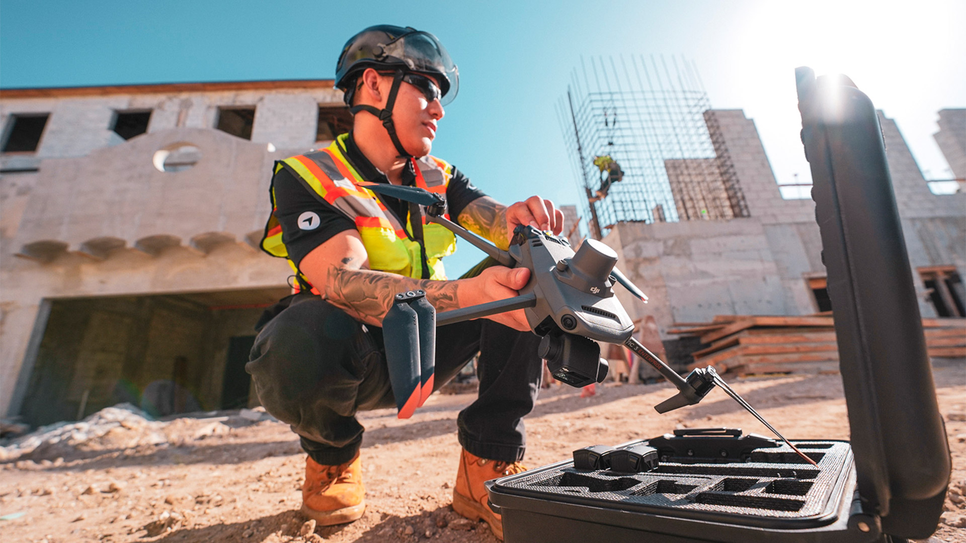
Project management AI automates construction progress tracking Posted by Greg Corke - July 22, 2025 Progress AI from DroneDeploy interprets real-world visual data from drone flights and 360 walkthroughs
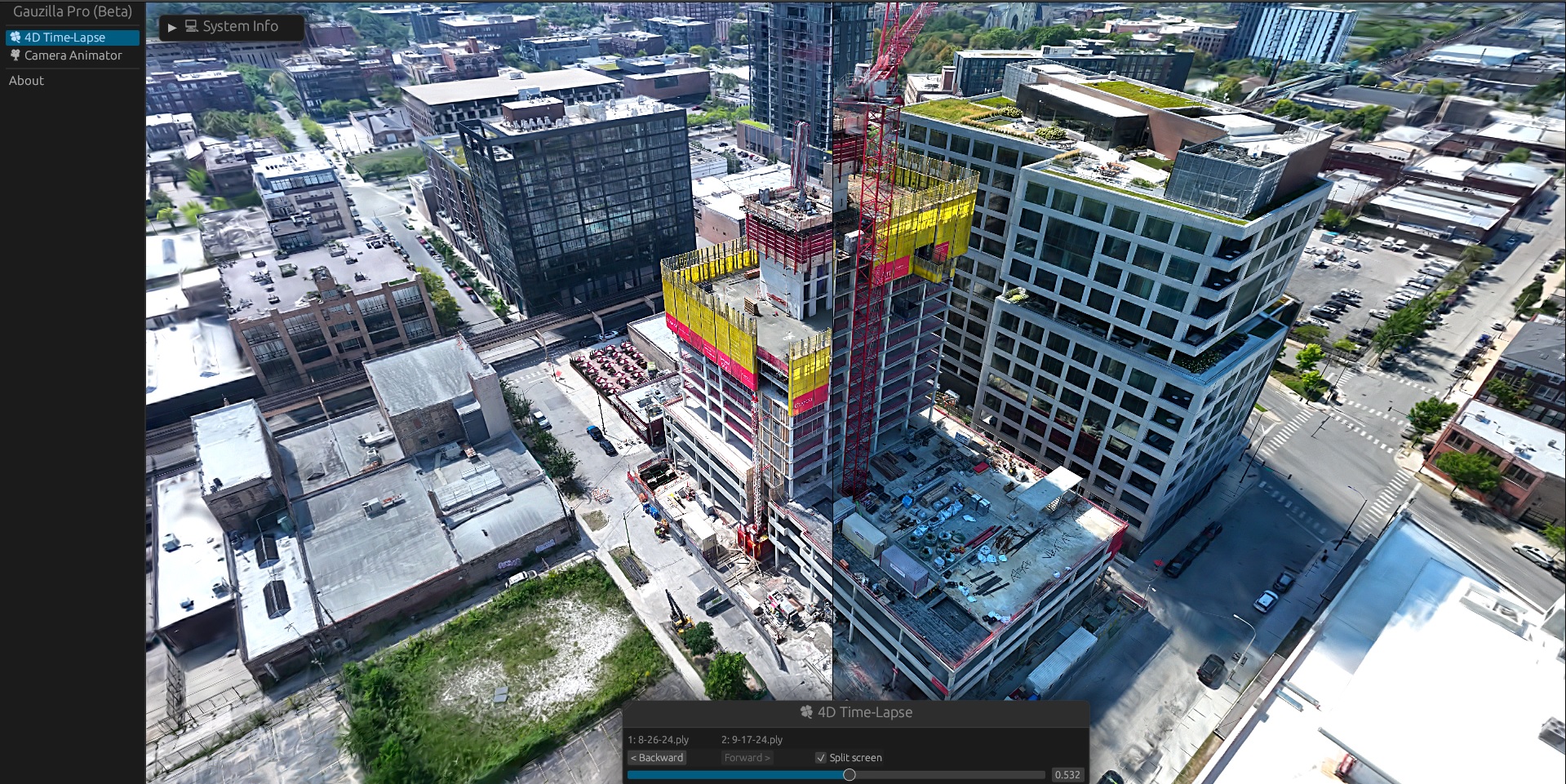
Reality modelling Introducing Gaussian Splats for AEC Posted by Martyn Day - December 2, 2025 But what does this new reality capture technology mean for AEC workflows?