AEC developer also improves performance of its cloud-based platform and launches new site development software
CYPE has enhanced the OpenBIM workflow for the 2022 release of its AEC software with improvements to its cloud-based BIMserver.center platform and the optimisation of IFC file exchange.
Additionally, the Spanish company has enhanced its 3D architectural modelling solutions and incorporated national and international codes.
According to CYPE, its BIMserver.center platform is being used on a daily basis by almost 95,000 professionals from 180 different countries, 18,500 of which have joined in the first six months of this year.
In terms of its design software, most of the new developements centre on CYPE Architecture.
Updates include the creation of direct links to other programs, the export of the BIM model’s information to other applications such as Open BIM Memorias CTE, the improvement in the editing of the geometry of the project elements and the graphic improvement in the representation of vegetation.
According to the company, one of the key benefits to the software is its versatility in architectural modelling ‘without geometric restrictions’, which allows for models to be prepared for carrying out HVAC analyses, bills of quantities, collision analysis, extraction of plans and graphic documentation, as well as the generation of technical specifications.
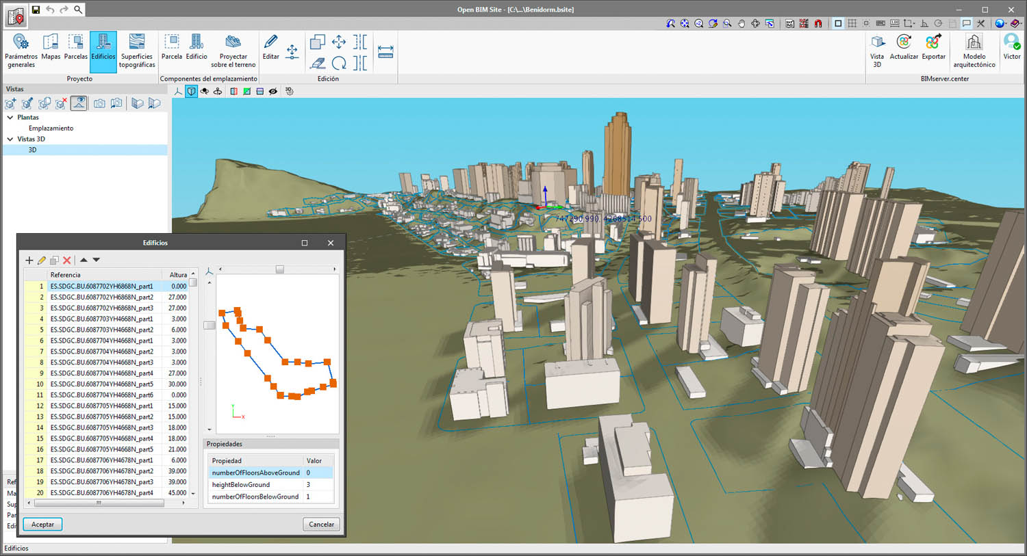
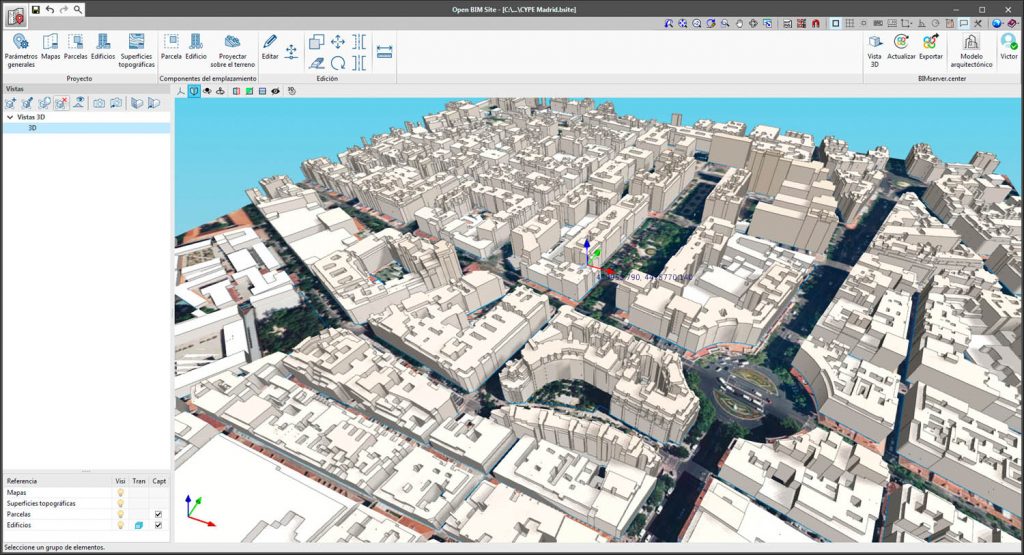
The 2022 version of CYPE also marks the launch of a new, free program for defining the initial conditions of a project site.
Open BIM Site is designed to establish the geographical location of the models, manage different types of maps, enter topographical surfaces and add elements to the site environment, such as plots of land and buildings.
According to Carlos Fernández, CYPE’s technical director, the new application will solve one of the major problems and drawbacks that professionals have when it comes to sharing the coordinates of a project, “It allows several native models to be maintained in different programmes, each with their own coordinate system, and [which] can be georeferenced separately, maintaining a federated model of each one.
“This way there is no need to reflect this change of coordinates in the different models, nor to overload the models of the different disciplines.”
According to CYPE, the ability to have this geographic information in a visual and attractive form also gives technicians greater decision-making capacity and more options when studying site alternatives for client projects.