Esri ArcGIS Basemaps and ArcGIS Living Atlas Data to be integrated into Autodesk software environment
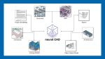
Esri and Autodesk have entered a new phase of their strategic alliance that aims to unify GIS and BIM, by agreeing to integrate ArcGIS Basemaps and ArcGIS Living Atlas of the World layers into Autodesk’s products.
“Partnering with Esri is intended to combine the power of BIM and GIS, which will enable our shared customers to build anything, anywhere,” said Andrew Anagnost, CEO, Autodesk.
“Our goals are to provide industry and city planners with the ability to design in the context of the real world. This will allow communities to build more connected, resilient cities and infrastructure with a focused eye on sustainability.”
“Using GIS and BIM as a single integrated system provides decision-makers with a holistic understanding of how an infrastructure project will impact the community and environment, supporting sustainable outcomes,” said Jack Dangermond, Esri president.
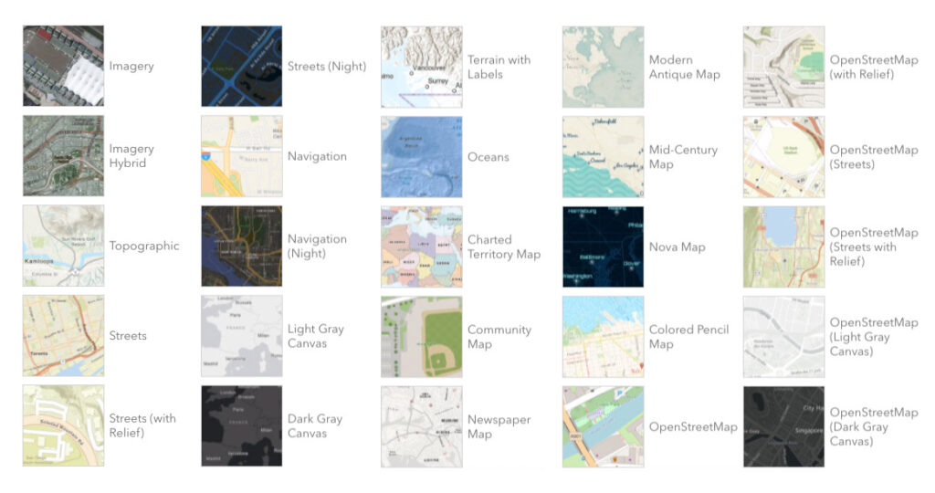
“Integrating Basemaps and ArcGIS Living Atlas layers with Autodesk products unlocks added context of the natural and built worlds, combining visual appeal and up-to-date maps and layers from the global community.”