Geospatial specialist streams IFC and Revit files as 3D Tiles to place AECO data in 3D geospatial context
Cesium, a specialist in 3D geospatial technology, has launched its AECO Tech Preview Program, with the aim of improving workflow and capabilities that place architecture, engineering, construction, and operations (AECO) content in a 3D geospatial context.
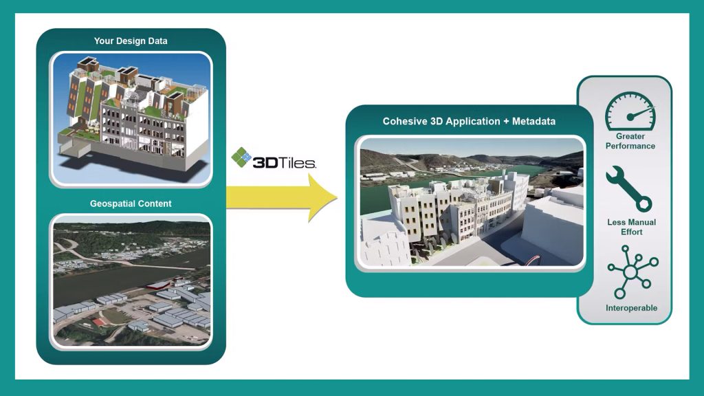
The company has made two new technologies – Design Tiler and Revit Add-In – available for early access, to transform IFC and Revit files into 3D Tiles, an open standard developed by the Cesium team for streaming and rendering massive amounts of geospatial data.
AECO 3D Tiles includes metadata for querying, filtering, styling, and analytics, for efficiently streaming massive datasets to the web or through project-centred applications via Cesium’s geospatial platform.
According to Cesium’s Dave Braig, with IFC data as 3D Tiles, there is greater performance, increased interoperability, and less manual effort to optimise this rich content for viewing and distribution. 3D Tiles from Revit files include the metadata, materials, and textures.
Cesium has been testing these capabilities with AECO projects containing over 4 million individual objects and 800 million mesh triangles.
3D Tiles are compatible with Unreal Engine, via the Cesium for Unreal plugin, which allows developers to stream, visualize, and interact with large-scale geospatial datasets in real-time within the Unreal Engine environment.
3D Tiles are also compatible with Unity, Nvidia Omniverse, Bentley Systems iTwin platform, and other engines / platforms.