Mapping solution combines advanced sensors, 3D imaging and AI to survey underground utilities
Israeli startup Exodigo has launched a non-intrusive subsurface mapping solution for construction, mining and utility companies.
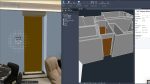
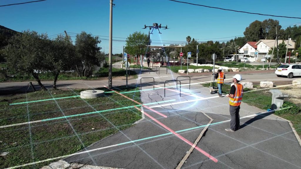
Carried by drones or small carts, the Exodigo system combines advanced sensors, 3D imaging and AI technologies to help give a clear picture of underground conditions so companies can make more informed decisions before they start design, construction or resource excavation.
It can generate a digital geolocated 3D map of buried assets – from man-made pipes and cables to soil layers, rocks, minerals, and groundwater ‘across any terrain’.
“It is time to finally break ground on a safer, more sustainable and infinitely more precise method for subterranean discovery,” said Jeremy Suard, co-founder and CEO of Exodigo.
“Our powerful combination of advanced sensor technologies and proprietary AI platform provides users with a safe, fast way to get a complete view of what lies beneath the surface with unprecedented precision
“Ending the era of blind digs, Exodigo gives companies an accurate, easy-to-understand map of what lies beneath the surface – empowering their teams to save time, money, and lives. Think of it like combining the scanning power of an MRI, CT scan and ultrasound all into one image of what is beneath the ground.”
Exodigo will commence pilot projects in California, Florida and Texas in the weeks ahead. The Israeli startup recently raised $29M in seed funding which it plans to use to accelerate its expansion, with a focus on building a California-based team to support the commercial rollout in the United States.