New solution combines ZEB1 hand held laser mapping system with PointCab point cloud processing software
3D Laser Mapping claims its new solution will revolutionise the production of highly accurate building floor plans. Combining the ZEB1 hand held laser mapping system with point cloud processing software, the company says the technology allows users to scan and produce detailed floor plans in a matter of minutes.
This announcement follows an agreement between UK based 3D Laser Mapping, worldwide distributors of the ZEB1 hand held mapper, and PointCab, a German software company specialising in the processing of laser scanned data.
“The combination of ZEB1 and PointCab creates a truly powerful solution for building surveyors,” commented Charlie Whyman, global sales and marketing manager, 3D Laser Mapping. “Both are easy to use with little or no training, both are fast and effective and both are well supported. Trials of the combined solution have shown that a multi room facility can be scanned, the point cloud data processed and a vector model produced, all in less than twenty minutes.”
Frank Torno, head of administration of PointCab added, “The ZEB1 is ideally suited for building surveys as it is truly portable and can be operated in confined spaces and difficult to access areas. The seamless workflow of raw data into PointCab combined with the unmatchable speed of processing make the ZEB1 PointCab partnership unbeatable for a range of applications including building surveys.”
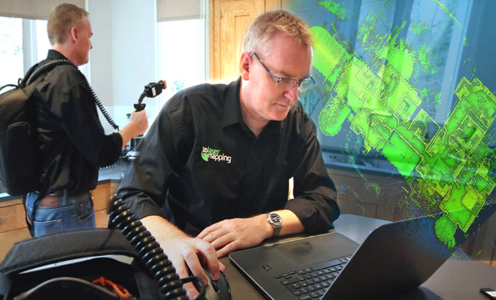
Developed by CSIRO and commercialised by GeoSLAM, ZEB1 uses robotic technology called Simultaneous Localisation and Mapping (SLAM). The ZEB1 system includes a lightweight laser scanner mounted on a simple spring mechanism, which continuously scans as the operator walks through the environment. As the scanner loosely oscillates about the spring, it produces a rotation that converts 2D laser measurements into 3D fields of view. Its ability to self-localise is said to make ZEB1 ideally suited for use indoors, underground and in other covered environments where traditional solutions that utilise GPS don’t function.