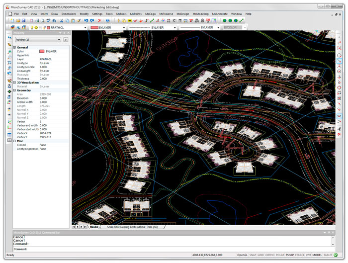
Latest release of the IntelliCAD-based tool enables land surveyors and civil engineers to work with larger datasets.
MicroSurvey CAD 2015 is the latest release of the desktop survey and design program for land surveyors and civil engineers. The software is powered by the IntelliCAD 8 engine and is the first ever 64-bit version of the software. According to the company, this will allow users to experience faster and smoother drafting and calculation operations, and work with larger drawings and more points.
The software is said to be compatible with field data from all major total stations and data collectors. It includes survey drafting, COGO, DTM, traversing, volumes, contouring, point cloud manipulation and data collection interfacing.
The 2015 release includes several new capabilities: layer filters and layer states have been integrated directly into the IntelliCAD Explorer; a dynamic licensing system makes it easy to switch product levels; the AutoMAP Library, which controls how points and figures are presented, has been enhanced with new capabilities; bearings and azimuths of lines can now be ‘instantly viewed’ in alternate reference systems; the point clusters tool lets users draw exaggerated error vectors for visually comparing coordinate changes between design and as-built points or during deformation studies; and additional point cloud data formats are supported.


