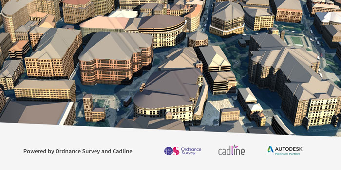
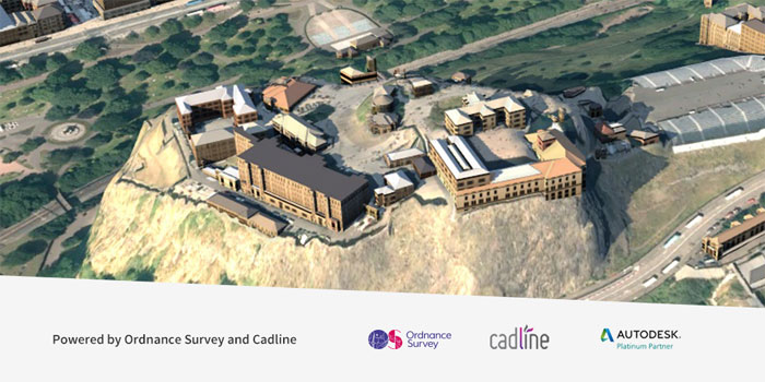
Accurate, up-to-date Ordnance Survey geographic data now delivered inside 3D Autodesk InfraWorks 360 model
OS Model Builder is a new visualisation tool for Autodesk Infraworks 360 customers that delivers Ordnance Survey geographic data in a pre-configured CAD-ready file. The software is the result of a new collaboration between Autodesk Platinum partner Cadline and Ordnance Survey (OS).
With OS Model Builder, users can build a 3D Autodesk InfraWorks model complete with terrain, imagery and buildings, comprising OS Terrain 5, OS MasterMap Imagery, OS MasterMap Topographical data and optionally OS Open Map Roads and OS Open Map Rivers.
Users simply define an area up to 10 km², and the data that is to be included in the model. This includes building footprints, building heights, imagery and high resolution terrain as standard, as well as rivers and roads open data. Users can then download data within minutes.
The software is available over the web, runs on any device and can be trialed for free. Models cost £175 for the first km2 then £17.50 per 0.1km2.

If you enjoyed this article, subscribe to AEC Magazine for FREE


