Esri Experience Builder Widget for ArcGIS brings high-fidelity 3D scan data to into GIS environment
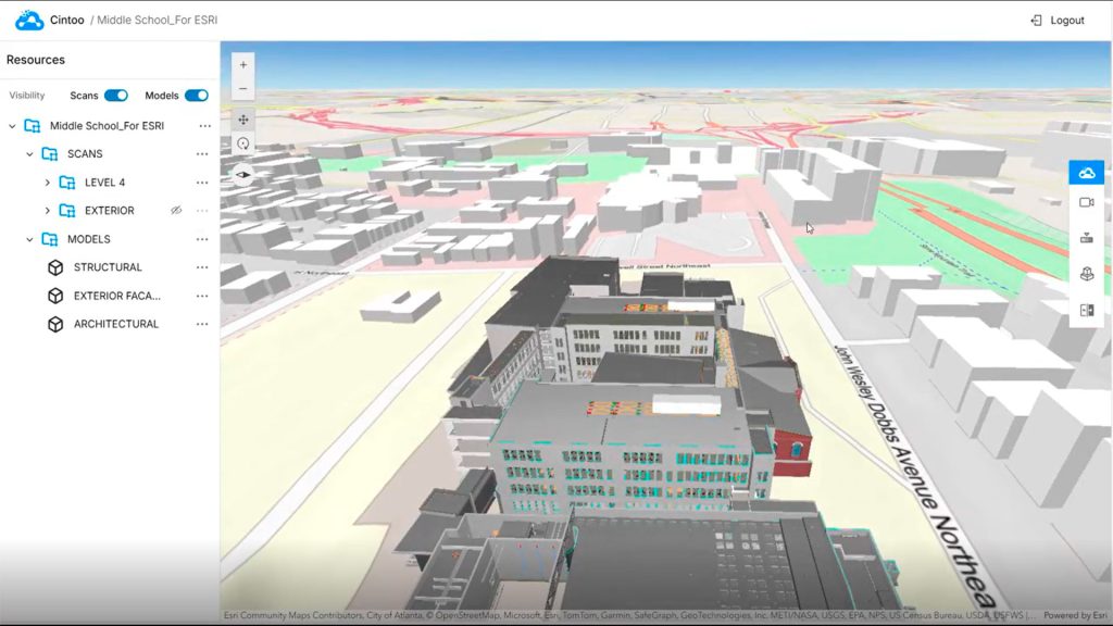
Cintoo has released Esri Experience Builder Widget for ArcGIS, enabling users to stream and interact with high-resolution, mesh-based laser scan data directly within the Esri ArcGIS environment.
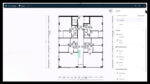
The Esri Experience Builder Widget brings immersive 360-degree panoramic views and virtual inspection capabilities to ArcGIS. According to Cintoo, this is particularly beneficial for indoor and brownfield projects where conventional GIS tools often struggle to handle dense or detailed spatial data.
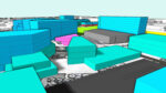
The integration converts terrestrial and mobile LiDAR data into lightweight 3D meshes. According to Cintoo, this maintains full point cloud fidelity while enabling teams to ‘effortlessly work’ with what were previously large, complex datasets.
Users can analyse scan data, compare it to BIM and CAD models, and manage asset tags without leaving the ArcGIS environment. Use cases include managing a large-scale facility, modernising a manufacturing line, or overseeing construction progress.
“ArcGIS is used by 70% of the largest companies globally so this is a really exciting opportunity for us to demonstrate to the Esri ecosystem how our platform brings much-needed visualisation and insight and why many Cintoo customers in Building Construction & Operations, Automobile Manufacturing and Energy, such as BP and TotalEnergies, have already integrated it into their daily workflows,” said Dominique Pouliquen, CEO of Cintoo.
“Increasingly, integrating LiDAR and other types of imagery into GIS is becoming an indispensable part of modern project workflows and we are happy to make this possible for Cintoo’s customers,” said Kathleen Kewley, Esri director of AEC global business development. “In fields like construction and facilities management, modern 3D GIS is critical for dynamic awareness of assets and processes.”
The two companies plan to continue their collaboration. Upcoming developments will further expand Cintoo’s 3D mesh technology across the ArcGIS platform, making high-resolution, streaming mesh layers accessible to GIS users.