Online tool to boost digital engagement within the planning process and sits alongside a public application for external stakeholders
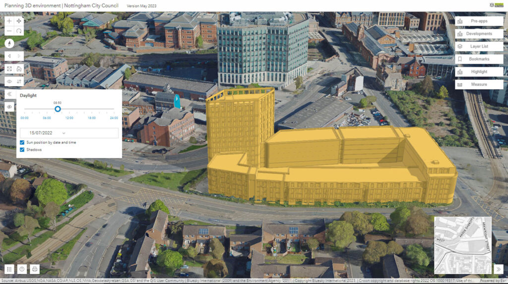
Nottingham City Council is combining off-the-shelf 3D mesh data with existing photogrammetric 3D modelling to visualise new developments in an immersive real-world environment.
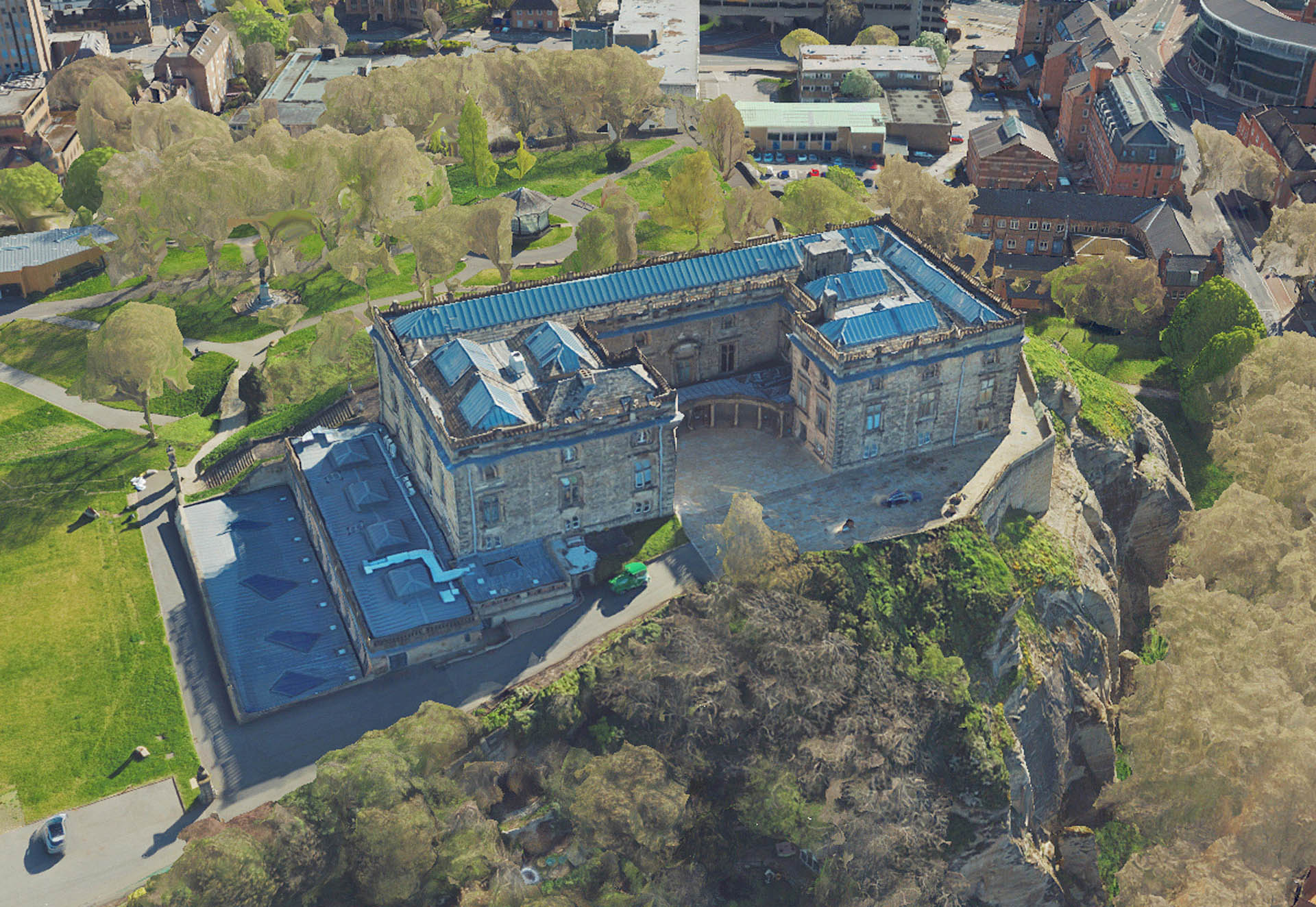
Developed using the MetroVista 3D mesh model product from Bluesky International, the new tool is designed to ensure that accurate data is driving decision making for transparency and increased engagement within the planning process – both internally and externally.
Bluesky’s MetroVista data combines ultra-high resolution aerial photography and oblique images with high point density LiDAR to create photorealistic mesh models.
“We have always had 3D aspirations, and our planning department pioneered its use nearly two decades ago,” commented Laura Pullen, GIS business development manager at Nottingham City Council. “However, at that time the city model was on a single, standalone computer that had to be carried from meeting to meeting!
“More recently we deployed a number of lightweight GIS applications using simplified 3D buildings, but we were keen to create an internal tool utilising high-detailed 3D data at its core which could also exploit our GIS data holdings.
“We now have a fully integrated internal assessment tool which is delivered online and accessible anywhere; throughout the planning department, enabling planners to undertake advanced visualisations, constraint checks and spatial analysis.
“In addition, it sits alongside a public application which is shareable with partner organisations, external stakeholders and the public. The online tools have Bluesky MetroVista data at its heart making it easy for non-professional users to engage with and interpret.”
“The focus of this project is around digital engagement within the planning process. The core 3D data within the tool was critical and we were keen to include photo realistic models, alongside traditional 3D building data, as we believe it will enhance engagement with members of the public and other stakeholders,” Pullen continued. “In fact, it’s all about having the right data for the right audience.”
“We hope to build on the work to date and, as we move forward, start to create hybrid-mesh models incorporating street level photo capture for applications with transport planning and biodiversity studies, for example,” she concluded.


