HCSS is giving away a comprehensive drone surveying app to work with its online construction data analytics platform
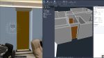
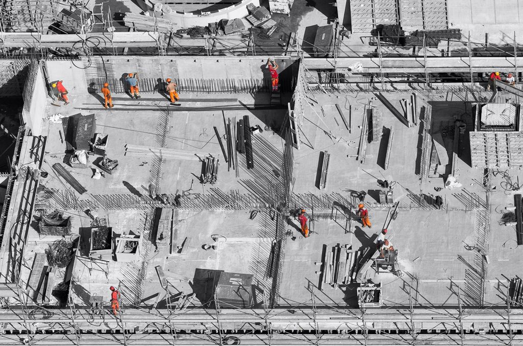
HCSS is offering a free smart app called ‘Drone Mission’ to its drone-based analytics platform, Aerial. HCSS states that the app can be paired with any drone and used to capture high-resolution images of construction job sites. These images can then be analysed in Aerial to estimate a number of key metrics – job progress, earthwork volumes and safety inspections.
Drone Mission enables users to set up a fully-automated flight plan over the length of a construction site. It includes features such as ‘auto-fly home’, when the drone, controller, or iPad battery runs low, it allows max flight distances and altitude to be set, image resolution and stationary or in-motion photos.
To get the most from image capture, Drone Mission allows the capture of images in vertical mode across a grid, along a set corridor (road/rail), or at an oblique angle while circling an area of interest.
Flight path options are set via a map or on Google Earth (KML/KMZ upload). The app will determine the flight path, duration, distance, the number of images the memory required.
Once back in the office the high-resolution images are uploaded from Drone Mission to hcss-aerial.com for analysis.
“Our new free, user-friendly application works in conjunction with the main drones available in the market,” says JP Giometti, Executive Director, Global Strategy and Corporate Development at HCSS. “The HCSS Aerial app has everything a drone pilot needs to generate more efficiency, maximizing the value of every flight. The app is specifically designed for professional surveying, heavy civil construction, and infrastructure project mapping. HCSS Aerial: Drone Mission allows you to get professional drone images with just a few taps and swipes on your iPad.”
To download the free app, click here.