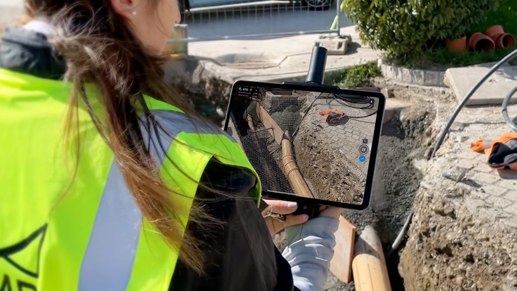
Handheld real-time kinematic GNSS device can be paired with Pix4Dcatch app to gather geotagged LiDAR and photogrammetry data
Bureau Veritas has certified the viDoc RTK rover for use in industry. The French company, which specialises in testing, inspecting, and certification (TIC) across multiple industries, found the real-time kinematic GNSS device to have a margin of error of less than 5cm, which is half the required accuracy for Class A measurements. The viDoc was tested for volume calculations, as well as measurements for digitizing as-builts in a trench.
The viDoc is a handheld device with an RTK antenna that connects to mobile devices. It was originally designed by German company viGram and is distributed by Pix4D worldwide.
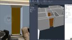
When paired with Pix4D’s app Pix4Dcatch, it enables users to gather geotagged LiDAR and photogrammetry data for use in creating 3D models or single point measurements. These datasets can be processed in Pix4D software either online (via Pix4Dcloud) or on desktops (Pix4Dmapper, Pix4Dmatic, Pix4Dsurvey). The resulting 3D site models can be measured, analyzed, and shared.
For trench measurements, the viDoc was confirmed by Bureau Veritas to be accurate to within 5 centimeters and had a margin of error for volume calculations of less than 5%. According to Pix4D, these results are equivalent or superior to other surveying methods, namely with GPS or total stations.
“We are proud to have received this certification for the viDoc, which affirms our belief in the viDoc being a game-changing tool. Its use in construction, public works, and surveying will continue to grow and see benefits due to a global push to accurately geolocate all utilities. This is the sort of project where we expect there to be high interest in the viDoc,” explains Ryan Sweeney, product manager for viDoc.