Balfour Beatty VINCI adopts drone software Site Scan for ArcGIS from Esri UK to digitise survey workflows
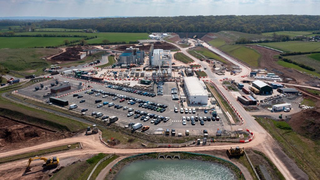
Balfour Beatty VINCI (BBV) has rolled out Esri’s Site Scan for ArcGIS drone flight management and image processing software, to support its drone deployment strategy on its Midlands section of HS2.
Various 2D and 3D outputs are being generated for sharing with multiple stakeholders, including high-definition imagery and 3D terrain models.
Faster and more efficient drone surveys are already saving around £20,000 a year on monthly construction progress surveys on a single site, instead of using physical surveys and the subsequent updating of CAD models. BBV estimates this could save around £1.6m if the same workflow was applied across 80 sites in the first year.
Another benefit has been the removal of 800 ‘working at risk’ days and a cost saving of £30,000 per year from monitoring aggregate stockpiles, using a single drone operator to carry out 3D volumetric measurements in 20 minutes.
Previously, contractors would take a full day to physically measure stockpiles and calculate transport requirements, often working in steep and difficult environments.
“We needed the right software to manage an increasingly complex and varied use of drones and meet the needs of multiple teams, from logistics to site managers to engineers,” explained Dan Fawcett, Innovation Director at Balfour Beatty VINCI.
“New digitised workflows are rapidly replacing traditional, physical working practices and introducing new levels of efficiency, accuracy and safety. On major projects such as HS2, the ROI achieved is significant.”
Other applications of the software include helping to show compliance with design tolerances in built structures against BIM and CAD models, speeding-up design cycles, particularly in earthworks and excavations design and monitoring the installation of utilities.
Site Scan for ArcGIS is Esri’s cloud-based drone flight management and image processing software, offering flight planning, hardware management, scalable image processing and unlimited data storage, plus ‘seamless integration’ with BBV’s Esri enterprise GIS system.