‘Cost-effective’ all-in-one reality capture solution combines laser scanner and software for £12,500
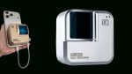
Leica Geosystems has launched Leica BLK360 SE Essentials, a new ‘cost-effective’ solution designed to make reality capture more accessible to smaller AEC businesses and sole traders. Priced at £12,500 (€14,000), it bundles a Leica BLK360 SE laser scanner with a one year subscription of Leica Cyclone Field 360 laser scanning software, and PinPoint software for turning scan data into usable 3D models.
According to Leica, the solution is specifically designed for new users across AEC, design, and trades that previously couldn’t justify the investment in 3D laser scanner technology.
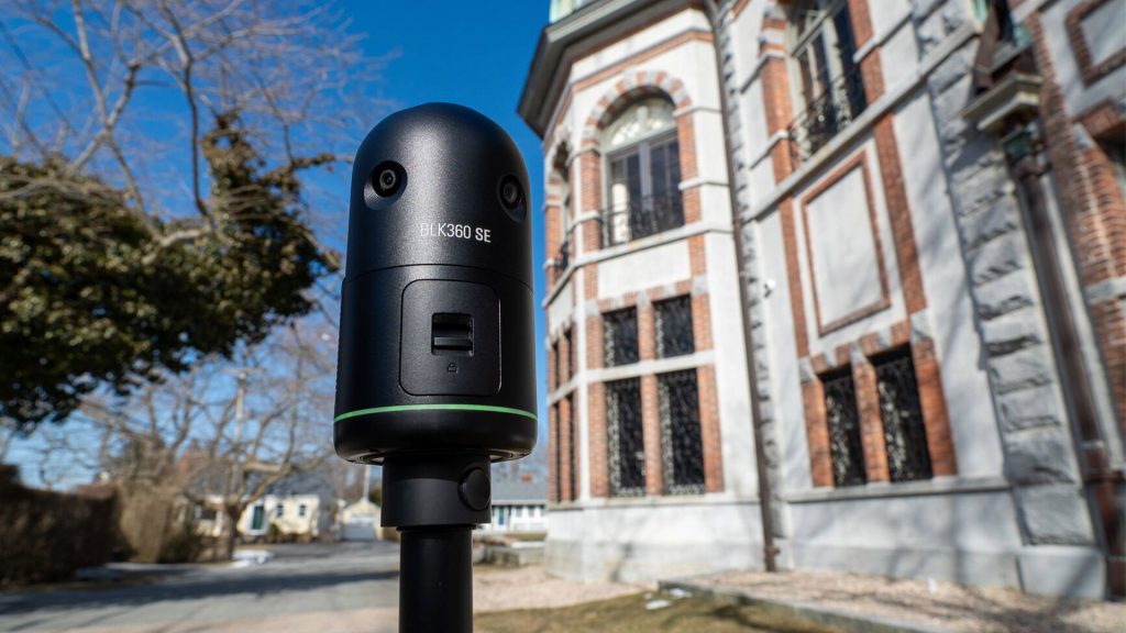
The Leica BLK360 SE is a lightweight, compact imaging laser scanner that produces professional-grade 2D and 3D models with a simple one-button operation. According to Leica, in under a minute, users can complete a 360-degree scan, accurate to 40 millimetres from 10 metres away. The four-camera system captures 104-megapixel HDR images to add detailed visual context to every model.
The Leica BLK360 SE is a simplified version of the original Leica BLK360, tailored for use on smaller projects. It is said to capture the same exact quality of data as the BLK360, but it takes a little longer to scan – up to 340,000 points per second compared to 680,000 points per second. The BLK360 SE can capture a full-dome scan with HDR images in just under one minute, while the BLK360 can do the same in 20 seconds.
In addition, the original BLK360 features VIS (Visual Inertial System) technology, whereas the BLK360 SE does not. VIS technology is used to track the scanner’s location from setup to setup and pre-aligns all data before transferring to the desktop software, thus speeding up the scanning and registration process.
The Leica Cyclone Field 360 (BLK edition) app provides a simple mobile interface to guide users through the scanning process in the field, helping to align scans, adjust settings, and validate results. The app can also take quick, in-field measurements of walls, openings, and objects, helping to speed up decisions and deliverables even before the scan is processed.
Back in the office, PinPoint can turn scan data into usable models. Surfaces can be created directly from the point cloud. Architectural elements like walls, doors, and windows can be dropped in with automatic alignment that snaps everything into place ‘quickly, accurately, and easily’. There are also built-in tools for measurement, analysis, and data cleaning. The data can be imported and exported to a wide variety of file formats and is compatible with popular CAD and BIM applications.