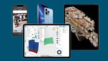
Reality modelling Apple iOS builds foundations in AEC Posted by Martyn Day - May 26, 2022 From concept design to reality capture, a new wave of iOS apps are making their mark Read More
Reality modelling SiteScape massively expands iPad / iPhone LiDAR scan area Posted by Greg Corke - May 16, 2022 AEC professionals can now combine scans to capture buildings up to 5,000 sqft. Read More
Reality modelling OpenSpace 3D Scans to use iPhone/iPad LiDAR sensors Posted by AEC Magazine - November 17, 2021 Measurable three-dimensional scans can be generated within two inches of accuracy Read More
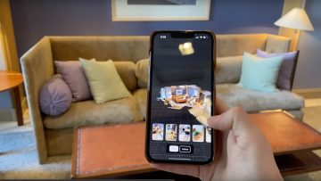
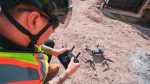
Reality modelling SiteScape: LiDAR scanning on the iPhone / iPad Posted by Greg Corke - September 15, 2021 How can a commodity device like the iPhone or iPad be used to capture reality on the construction site? Read More
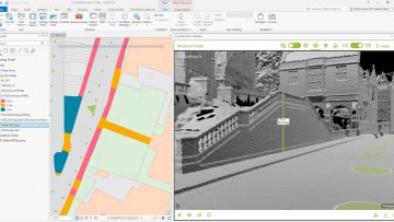
Digital twins Harrow creates ‘digital twin’ with street imagery and LiDAR Posted by AEC Magazine - August 25, 2021 New approach will help London Borough improve planning, highways and Council Tax operations Read More
VR/MR Varjo introduces ‘virtual teleportation’ platform Posted by Greg Corke - June 24, 2021 Varjo Reality Cloud will allow collaborators to ‘teleport’ to a construction site in real-time Read More
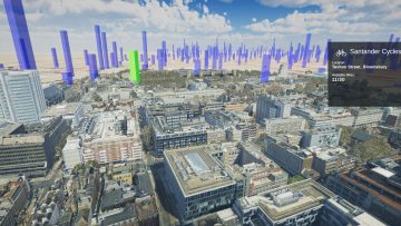
Reality modelling Mesh models underpin Bartlett dynamic map of London Posted by Martyn Day - April 13, 2021 Bluesky MetroVista Mesh Models used to produce a new Digital Twin of London Read More
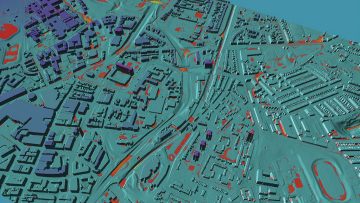
Geospatial Flood risk modelling goes under the microscope Posted by AEC Magazine - March 9, 2021 Newcastle University’s high-res flood risk modelling combines LiDAR and oblique aerial photography with AI Read More
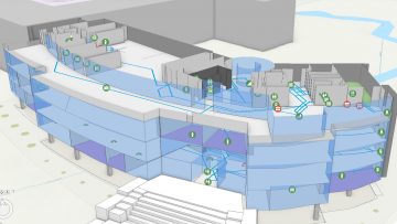
Reality modelling Esri UK partners with Tetra Tech on indoor mapping Posted by AEC Magazine - March 5, 2021 Service will use LiDAR scanning, data analytics and GIS to help support facilities Read More