Sitescape software designed to lower point of entry for reality capture with point clouds in the AEC sector
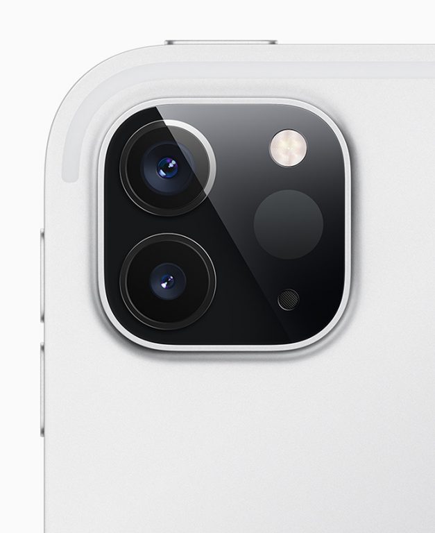
Mobile mapping startup Sitescape has developed a reality capture app for the 2020 iPad Pro that uses the device’s built in LiDAR sensor to create dimensionally accurate point cloud datasets.
According to company CEO Andy Putch, the AEC industry is a key market for the software where it can be used for progress monitoring, documentation, and remote site access/collaboration.
Putch told AEC Magazine that the Sitescape solution is not an alternative to SLAM or traditional laser scanners. “It comes at a vastly lower price point, is suitable for novice users, and produces results in the field that can be immediately shared,” he says.
Accuracy is said to be around +/- 1″ for linear measurements, while the max range of the LiDAR sensor is 15 feet. “We’ve found that indoors, tracking drift is very low (1″ – 2″) for distances below 40′ and increases for larger distances,” says Putch. “A single scan can cover 1,500 sq ft with suitable detail and multiple scans can be captured back to back and then registered into one continuous model.”
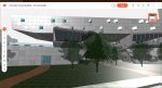
The software can export PLY point clouds, but there are plans to add more formats in the future. A selection of sample point cloud scans can be found on the SketchFab website
The software is currently in beta, but the basic point cloud scanning and export will remain free when released. “The true value to customers will lie in a platform that organizes scan data, provides analytics/collaboration tools, workflow support, and integrates with industry tools like Procore, PlanGrid, or BIM 360,” says Putch. “That’s too much to build all at once so we are using the beta to identify a single high-value problem that we can address.”