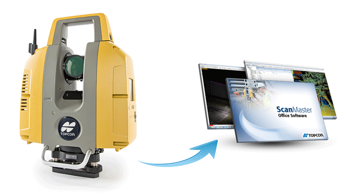
Software for collecting, processing, editing and delivering point cloud data can now handle larger models
Topcon Positioning Group has updated its ScanMaster laser scanner software so it can better handle larger point clouds, as commonly collected with the Topcon GLS-2000 3D laser scanner.
“The latest version includes memory overflow improvements when the operator creates large point clouds and views wide images, which allows for an even smoother experience than before,” said Charles Rihner, vice president of the Topcon GeoPositioning Group. “The point density display settings have also been modified and optimised for easy adjustment depending on instances when faster performance or better quality is more desirable.” “
Additionally, the cloud-to-cloud registration functionality allows practitioners using third-party scanners to take advantage of the efficient workflow that Topcon GLS customers have long enjoyed,” said Rihner.
The ScanMaster software is also backward compatible with earlier scanner models including the GLS-1000 and GLS-1500.
If you enjoyed this article, subscribe to AEC Magazine for FREE


