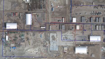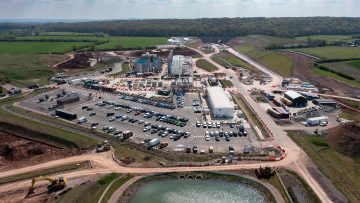
Drone surveys help cut costs on Midlands section of HS2
Balfour Beatty VINCI adopts drone software Site Scan for ArcGIS from Esri UK to digitise survey workflows
Read More