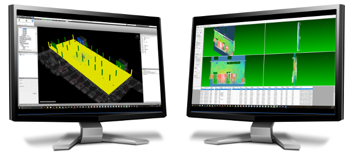
Data from GeoSLAM’s hand-held laser scanners to be compared against design models using ClearEdge3D Verity
A new partnership between ClearEdge and GeoSLAM is designed to make it much easier and quicker for AEC professionals to verify as-built field data with design models.
The two companies are collaborating on a new solution that will allow as-built construction data measured using GeoSLAM’s hand-held, lightweight mobile laser scanners to be compared against design/fabrication models using ClearEdge3D’s Verity software. Use cases include the ability to identify installation status and out-of-tolerance or inaccurately constructed work.
“The plan is to have Verity do the same thing with SLAM data as it does with traditional terrestrial data—to very quickly and accurately verify installation status and tolerance,” said Kelly Cone, Vice President of Product Management for ClearEdge3D.
“Our customers understand the value of terrestrial scanning, but it can be cost prohibitive for weekly or daily use. Augmenting terrestrial scanning using GeoSLAM’s hand-held mobile scanners gives our clients the freedom to scan as often as they want.”
If you enjoyed this article, subscribe to AEC Magazine for FREE


