Free software can capture 9 million dimensionally-accurate points in space with a single scan, or roughly 2,000sqft
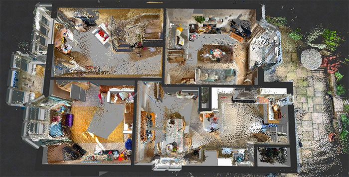
Architectural firm Nabney Plans is using scans captured with Sitescape in ArchiCAD as a reference for the building model
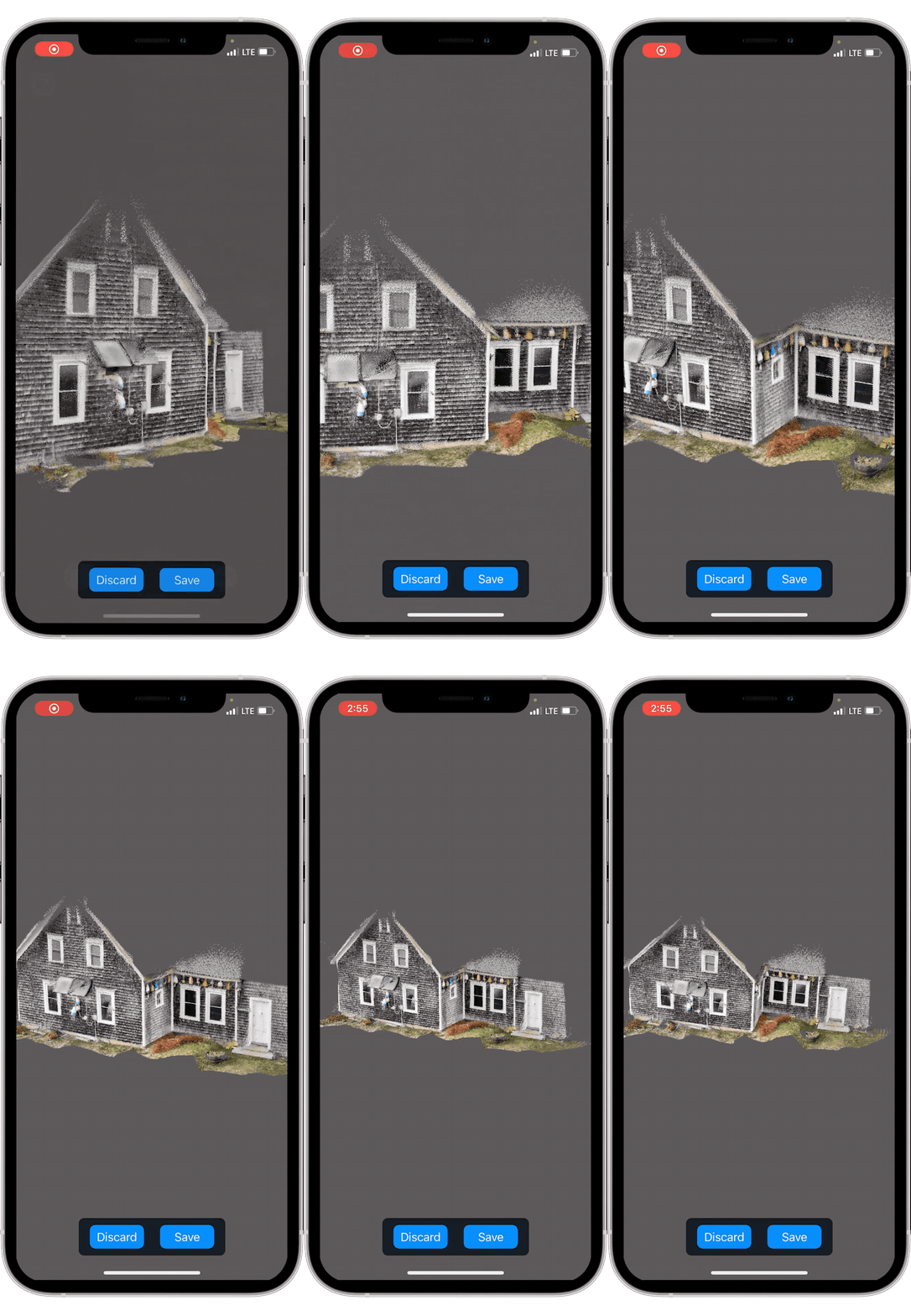
SiteScape, the iOS app that offers free 3D scanning to anyone with a LiDAR-equipped iPhone or iPad, has come out of beta and is now available in the App Store.
This is just the start for the mobile mapping startup, that aims to lower the point of entry for reality capture with point clouds in the AEC sector by making LiDAR more accessible for workflows including progress monitoring, documentation, and remote site access/collaboration.
Learn more about Sitescape and the new Pro features in this in-depth article
The free software allows users to capture 9 million points in space with a single scan, or roughly 2,000sqft, for free. Multiple scans can be captured back to back and then registered into one continuous model.
Related articles:
Graphisoft launches Archicad Studio for solo practitioners
NEWS: WorldViz brings “warehouse-scale” VR to Unreal and Unity engines
Tekla Structures v14
Informatix MicroGDS 2010
Okana awarded Innovate UK grant for Aquila
Asite report explores opportunities of digital engineering
12th Gen ‘Alder Lake’ Intel Core HX processors launch
NEWS: Business Collaborator adds integrated BIM viewer
Advertisement


