
AI CAD software combines feature extraction, point cloud editing and surface modelling for aerial survey workflows
Mach9 has extended its web-based AI CAD software for civil engineering enabling it to process aerial LiDAR and photogrammetry-derived datasets from drones, helicopters and aircraft.
Previously focused on ground-based scanning, the software can now extract features from aerial point clouds, classify points and build surfaces for civil engineering and GIS applications. Mach9 says its AI can produce an initial draft in hours, which survey teams then check and edit before delivery.
The development addresses a familiar problem in reality capture: collecting data is often considerably faster than producing useful engineering drawings from it. Users upload point clouds and orthomosaic imagery, then work through extraction, editing and surface creation within the same application.
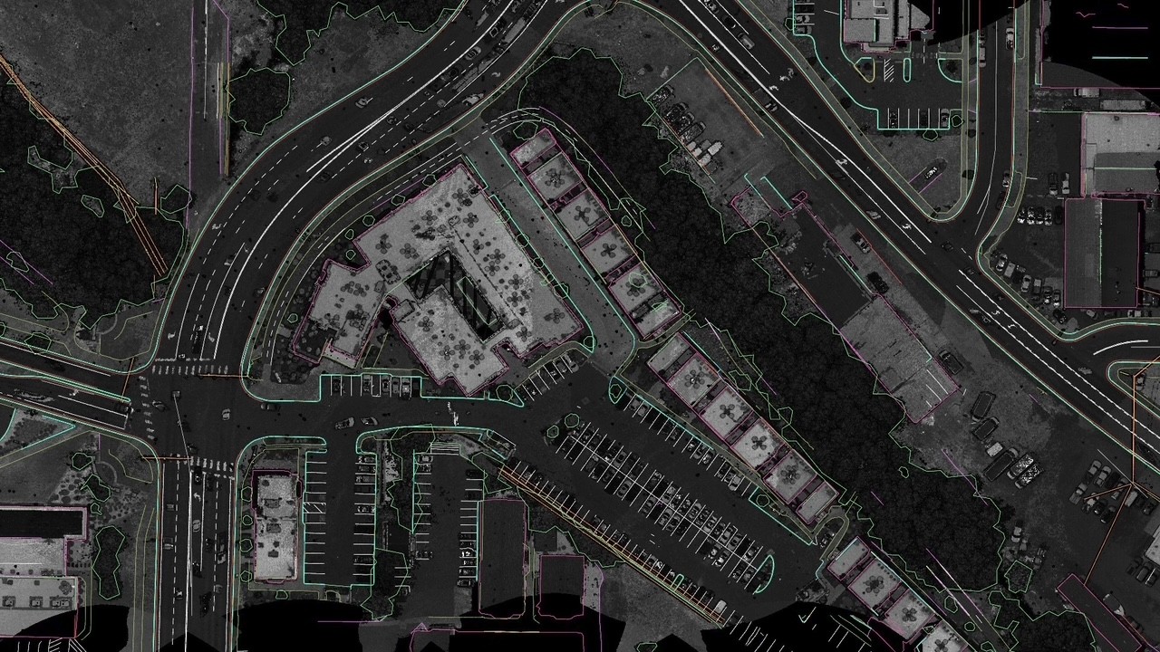
Automated extraction covers kerbs, building footprints, pavement edges and vegetation outlines as 3D points and lines, with Mach9 claiming centimetre-level accuracy at infrastructure scale.
Discover what’s new in technology for architecture, engineering and construction — read the latest edition of AEC Magazine
👉 Subscribe FREE here
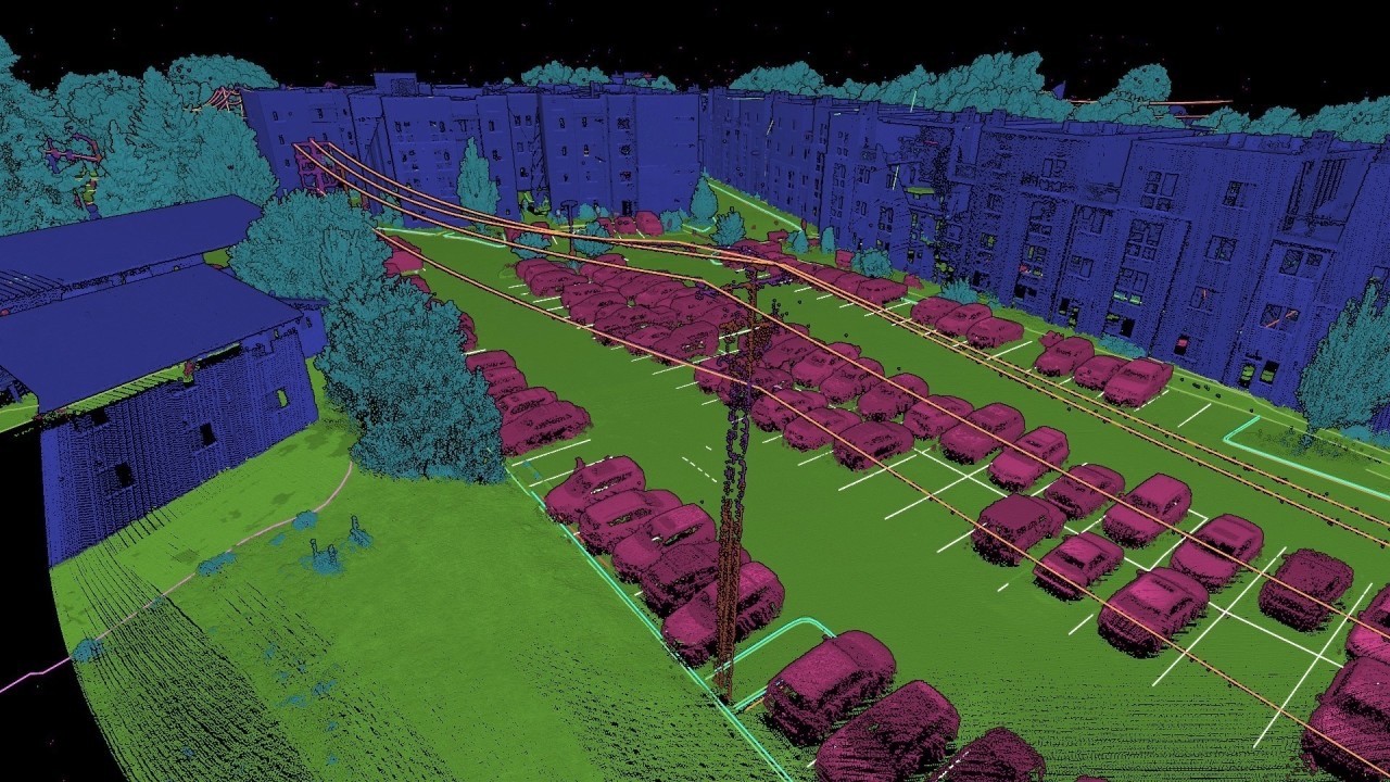
For electricity and telecommunications projects, the software can also extract utility poles and 3D catenary geometry from suspended wires. These features can feed clearance analysis, make-ready workflows and specialist design and pole loading applications. AI point cloud classification is supported by manual editing tools, allowing surveyors to correct results before generating ground surfaces or delivering classified datasets.
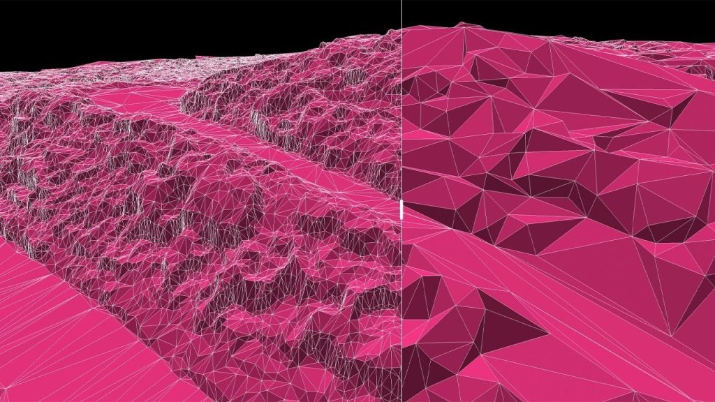
Surface modelling tools produce 3D ground surfaces, breaklines and contours for projects such as land development, solar farms and data centres. Users can edit vertices and regenerate surfaces, with a deviation heatmap highlighting areas that need attention. Surfaces can then be exported as LandXML for use in civil design software.


Langan, the engineering and environmental consultancy, has been using Mach9 on projects covering several thousand acres in Texas. According to Russ Hall, senior survey project manager, the software cut delivery time by around 40%, allowing the firm to complete work it would otherwise have been unable to deliver on time. Hall also highlighted the reduction in software packages needed to produce and check surfaces.
“Now with [Mach9], we’re able to build the surface natively inside, check the surface against the point cloud and the extraction, and then export out a LandXML that draws correctly in Civil 3D or OpenRoads,” said Hall. At Welch Comer, survey project manager Thomas Tucker reported average savings of four to five hours per project.
Supported capture systems include those from RIEGL, Leica, Trimble, GeoCue, Phoenix LIDAR, YellowScan, Wingtra, Teledyne Geospatial and DJI. Export formats include DXF, DWG, SHP, GDB and LandXML, providing routes into downstream CAD and GIS software.