Digital twin pilot project analyses data captured by real-time cameras
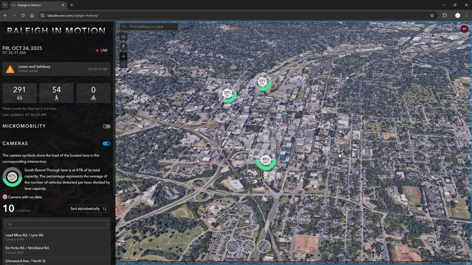
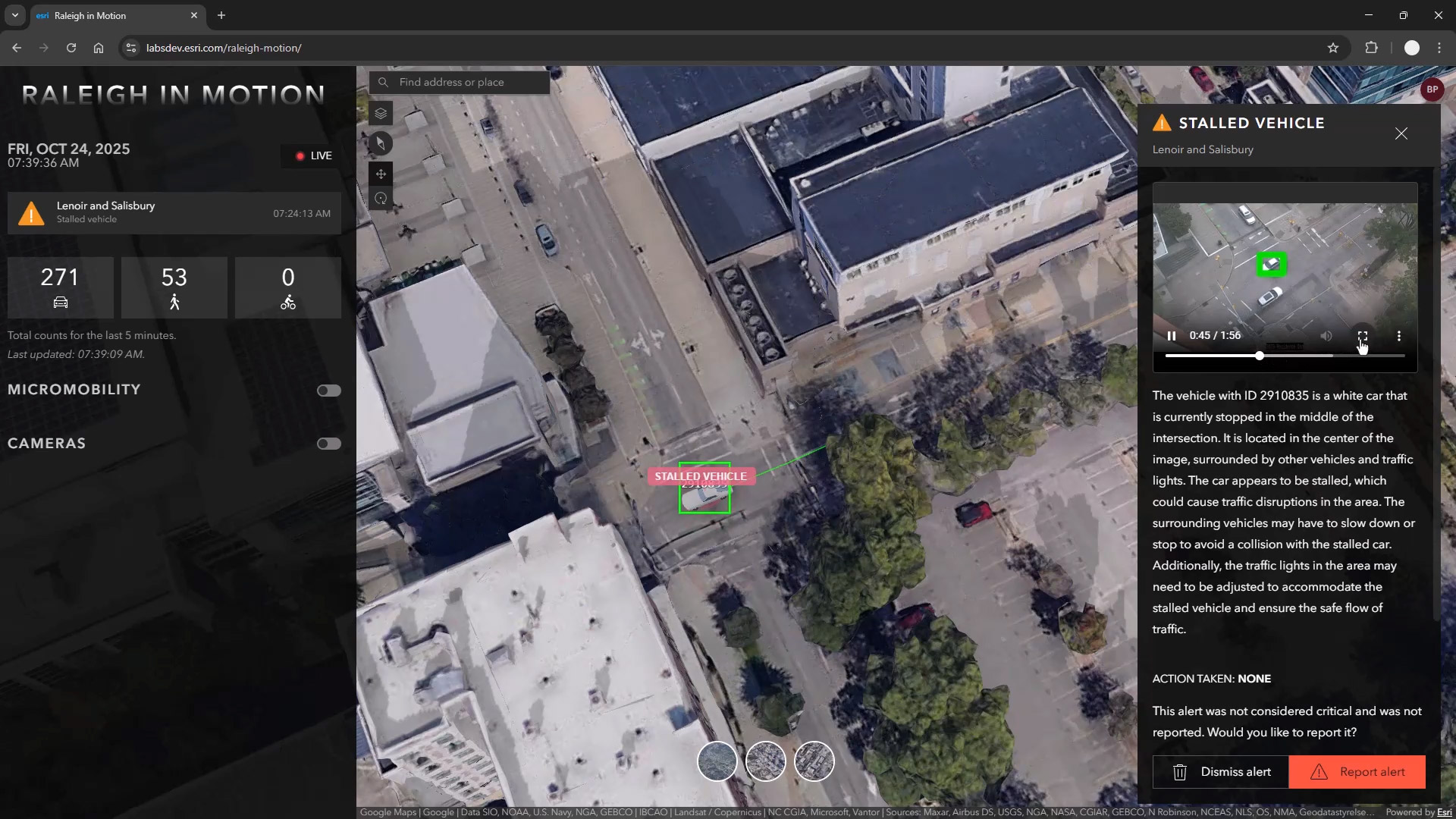
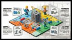
Technology from Esri, Nvidia, and Microsoft is being used in a pilot project for the City of Raleigh to better understand traffic flows and impacts. The “Raleigh In Motion” digital twin project uses AI to analyse massive volumes of data captured by real-time cameras.
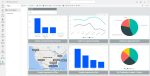
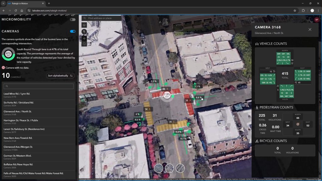
The traffic monitoring software allows city officials to monitor current and historic traffic flows through key intersections at the city. Nvidia AI technology processes real-time video from hundreds of cameras around the city to identify vehicles, bikes, and pedestrians.
Discover what’s new in technology for architecture, engineering and construction — read the latest edition of AEC Magazine
👉 Subscribe FREE here
These feeds are then mapped in Esri ArcGIS where city officials can analyse which intersections are congested based on time of day and day of week.
Indicators on the map turn from green to yellow to red as congestion builds up in intersections. The dashboard can even flag current events like stalled vehicles in an intersection that are impacting traffic.
By fusing real-time streaming data via ArcGIS GeoEvent Server with computer vision capabilities from Nvidia, this digital twin can help Raleigh identify dangerous intersections, reduce congestion and provide safer roadways for vehicles, bikes, and pedestrians.
With these insights, the city can better respond to current incidents and intelligently plan how to remediate problematic, and even dangerous, intersections, helping the city maintain safer streets.