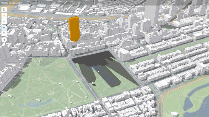
BIM Global Cities Innovate with 3D Modelling Posted by Admin - October 9, 2019 Leaders use realistic cityscapes to make decisions, collaborate, and improve quality of life [sponsored content]
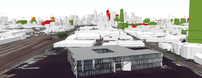
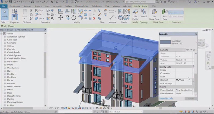
BIM Esri: GIS meets BIM Posted by Admin - June 1, 2020 How Esri is working with BIM software developers to better integrate GIS for AEC professionals
Reality modelling Esri UK partners with Heliguy for AEC-focused drone solution Posted by AEC Magazine - October 23, 2020 Partnership designed to bring together GIS and survey teams, who have traditionally worked separately on…
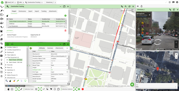
Geospatial Network performance Posted by Admin - May 29, 2020 We talked to 3-GIS about the challenges of designing, constructing and managing complex fibre networks
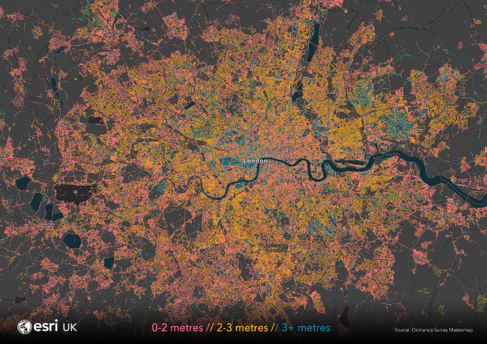
Civil engineering Pavement widths mapped to support UK social distancing plans Posted by AEC Magazine - June 5, 2020 Analysis by Esri UK reveals 70% of pavements are not wide enough for social distancing
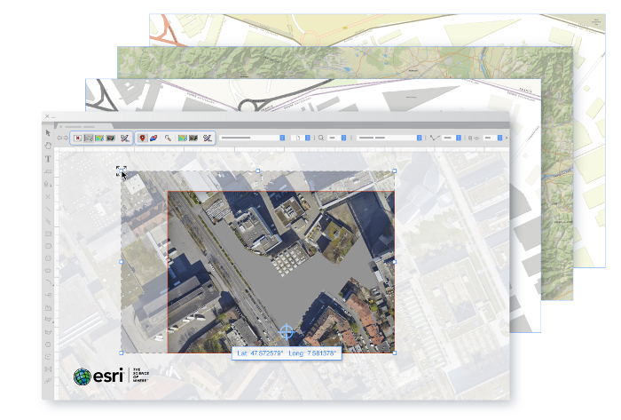
BIM Vectorworks simplifies GIS data integration Posted by Admin - November 20, 2019 Integration of Vectorworks BIM capabilities with Esri’s ArcGIS Online services said to benefit planners, developers…
Civil engineering Autodesk Infrastructure Modeler 2012 Posted by Greg Corke - January 30, 2012 Autodesk’s new conceptual design tool enables planners and engineers to consider geospatial, civil and architectural…
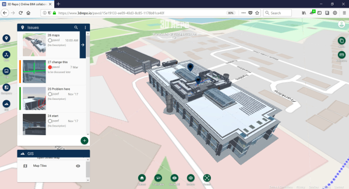
Geospatial NEWS: 3D Repo adds BCF support and GIS integration Posted by Admin - March 29, 2018 BCF improves collaboration by removing the need to manually locate design issues using only a…
BIM NEWS: Autodesk and ESRI form major infrastructure alliance Posted by Greg Corke - November 15, 2017 The strategic partnership will build the bridge between BIM and GIS mapping technologies