Acquisition will give Faro a significant boost in mobile mapping
Faro has acquired UK-based GeoSLAM, a provider of mobile scanning solutions with proprietary simultaneous localisation and mapping (SLAM) software.
Under terms of the agreement, GeoSLAM shareholders received a cash payment of £22.0 million and 495,562 shares of Faro stock.
SLAM is the process of mapping an area whilst keeping track of the location of the device within that area. It allows for the mapping of large areas in much shorter spaces of time than tripod mounted laser scanning, although accuracy isn’t as high.
Acquiring GeoSLAM gives Faro one of the widest portfolios of reality capture solutions, which includes 360-degree camera-based images, mobile scanning and stationary high-accuracy laser scanning.
Faro already had a mobile scanning solution – the Faro Swift, which combines its Faro Focus laser scanner with its Faro ScanPlan 2D mapper. However, this tripod mounted system, which was once described by a Faro spokesperson as being SLAM(ish), has to be wheeled around to capture the reality on site, on a relatively flat surface.
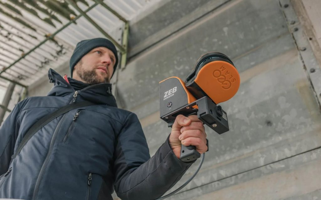
The acquisition of GeoSLAM gives Faro a much wider range of mobile scanners that can scan all types of environments, indoors and outdoors. Its Zeb products can be carried by hand, or mounted on a drone, backpack or vehicle.
It should also make Faro much better equipped to support emerging digital twin applications, where accuracy is not always as critical as it is for construction-focused workflows such as construction verification.
Faro will also be able to compete more directly with Leica Geosystems, which launched its first handheld SLAM scanner, the BLK2GO in 2020, followed in 2021 by two autonomous variants: the Leica BLK ARC, a module for robots including Boston Dynamics quadruped Spot, and the Leica BLK2FLY, a fully integrated LiDAR drone.
There are several other SLAM scanners available, including the wearable NavVis VLX and Viametris BMS3D, and Kaarta Stencil Pro. Mobile scanning apps, including SiteScape and EveryPoint that take advantage of the LiDAR scanner on the iPhone / iPad Pro, are also on the rise.


