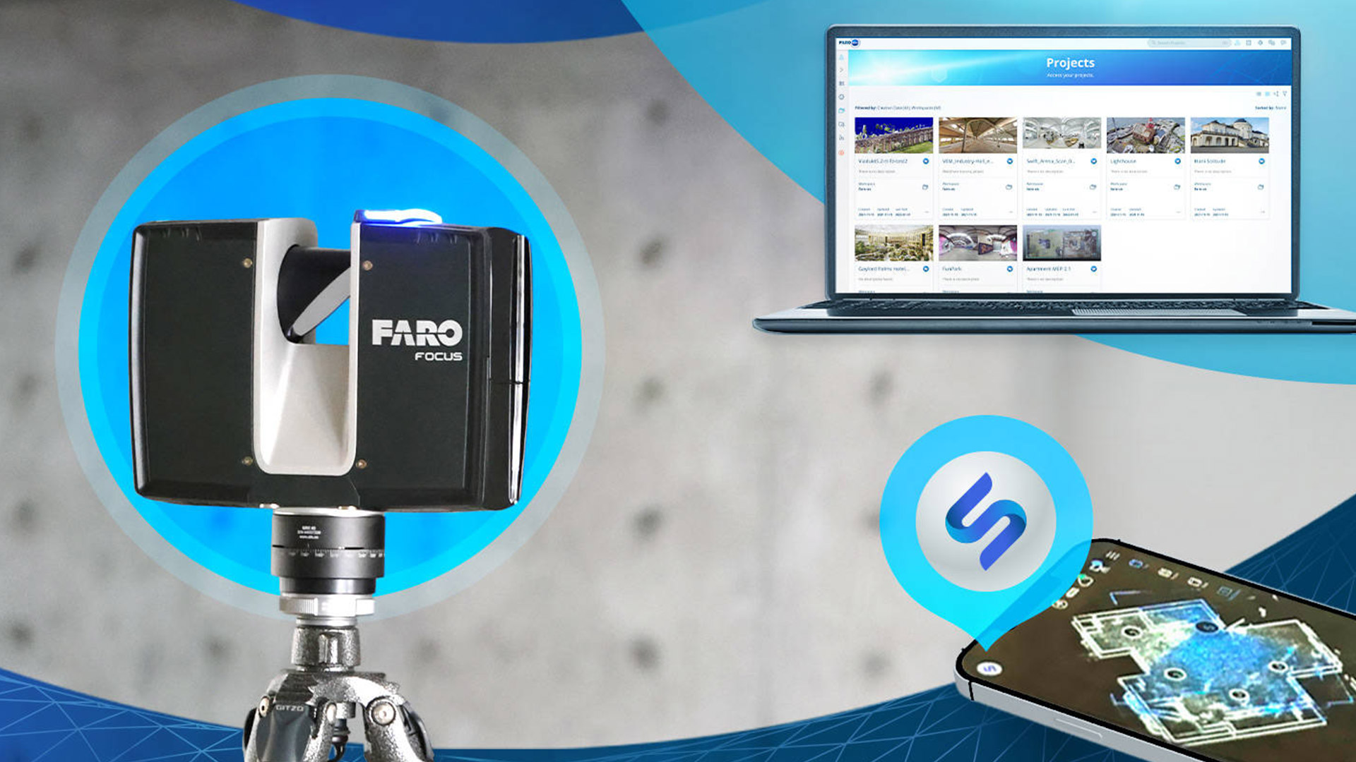
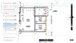
Reality modelling Faro launches reality capture and collaboration platform Posted by AEC Magazine - April 12, 2022 Integrated cloud-based workflow said to enable easy, fast and accurate 3D model creation
Reality modelling Epic Games launches limited beta of RealityScan for iOS Posted by AEC Magazine - April 4, 2022 Photogrammetry software turns smartphone photos into ‘high-fidelity 3D models’
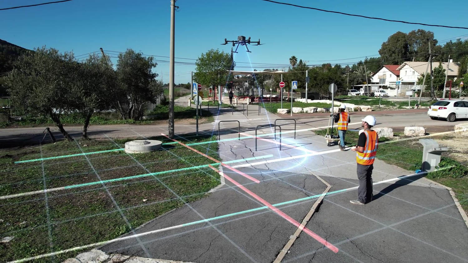
Reality modelling Exodigo launches subsurface imaging platform Posted by AEC Magazine - February 25, 2022 Mapping solution combines advanced sensors, 3D imaging and AI to survey underground utilities
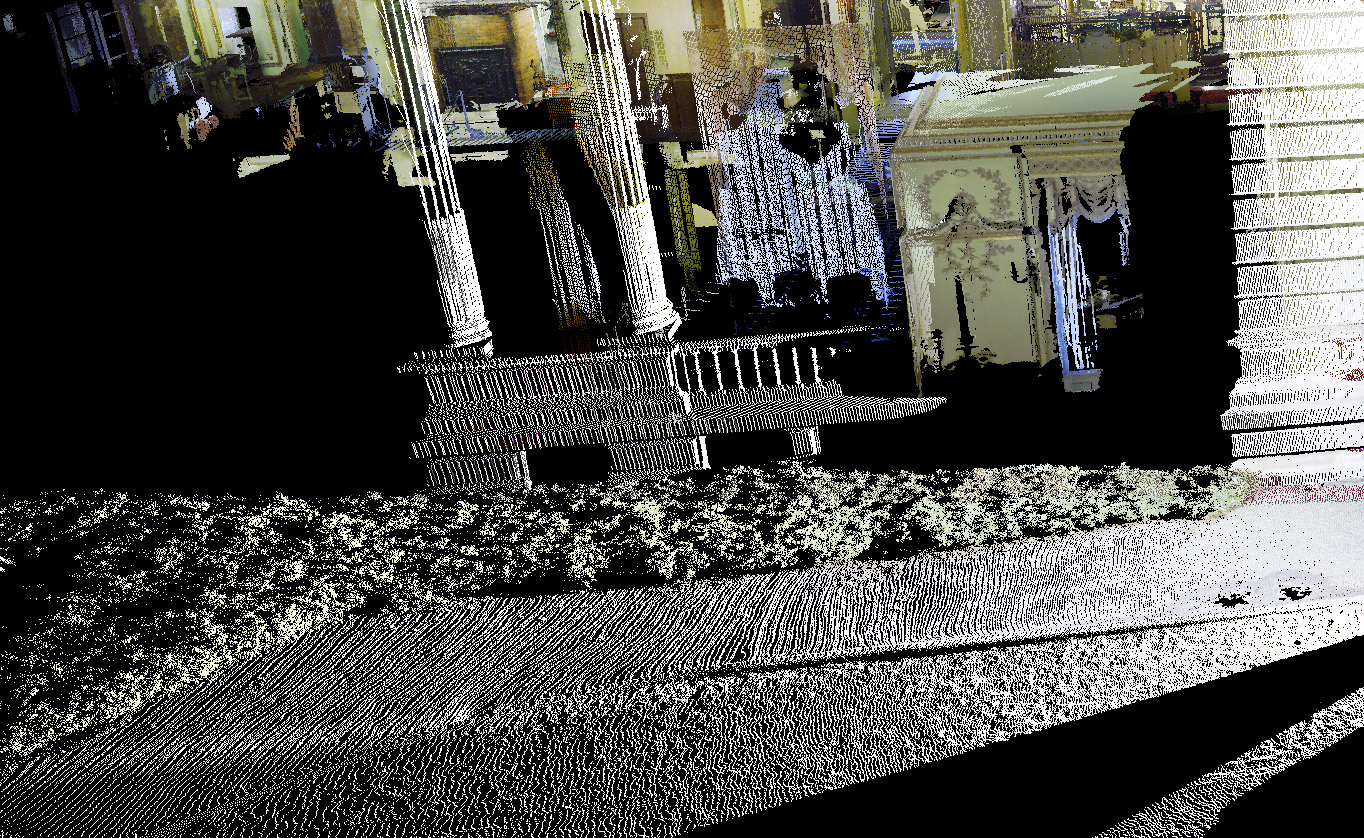
Reality modelling Open Design Alliance kick-starts scan-to-BIM SDK Posted by AEC Magazine - January 17, 2022 Software Development Kit will convert point cloud datasets into Revit and IFC models
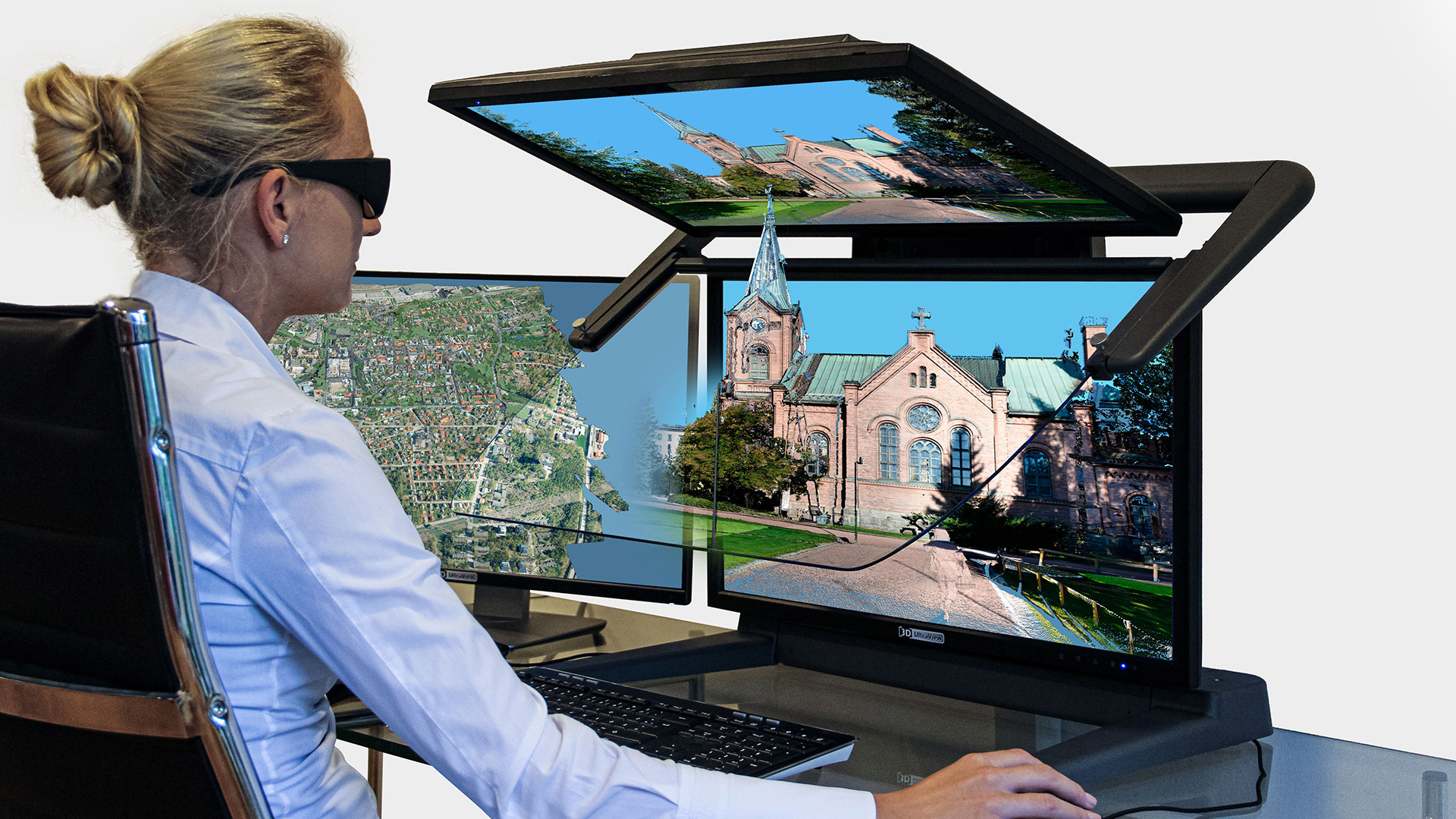
Visualisation 3D monitor primed for giant point clouds Posted by Greg Corke - December 23, 2021 Terrasolid TerraStereo certified for visualization on Schneider Digital’s 3D PluraView monitor
NXT BLD The future has arrived: NXT BLD on-demand Posted by AEC Magazine - November 30, 2021 AEC Magazine's NXT BLD gives a platform for the true pioneers in our industry
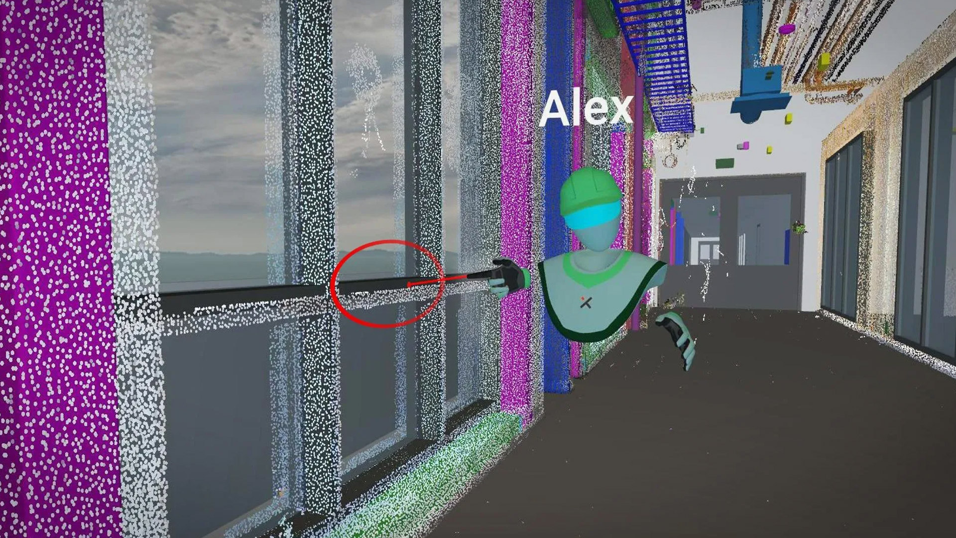
VR/MR VREX adds support for point clouds in VR Posted by AEC Magazine - November 29, 2021 Collaborative VR software helps identify critical differences between planned and as-built structures
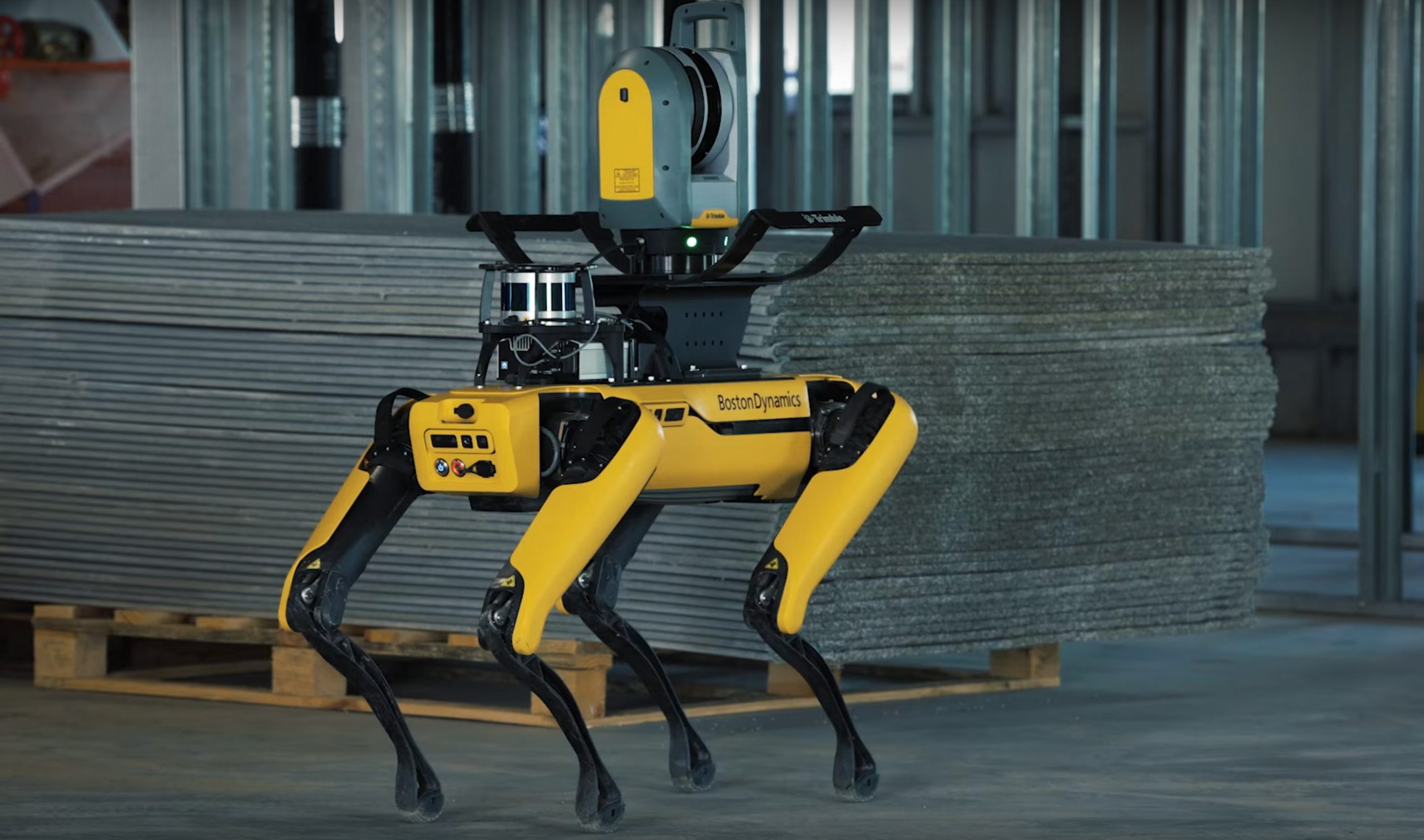
Reality modelling Trimble releases autonomous robotic scanning solution Posted by AEC Magazine - November 18, 2021 Spot robot integrated with Trimble X7 laser scanner and FieldLink software
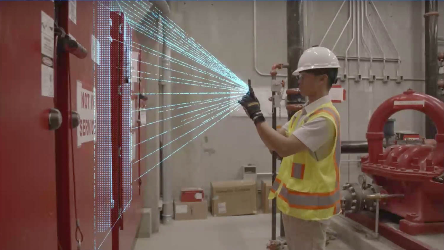
Reality modelling OpenSpace 3D Scans to use iPhone/iPad LiDAR sensors Posted by AEC Magazine - November 17, 2021 Measurable three-dimensional scans can be generated within two inches of accuracy
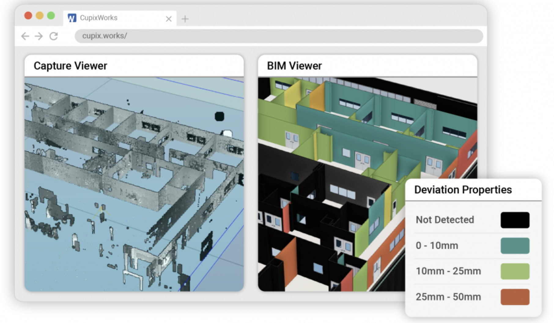
Construction CupixWorks Site Insights to track construction progress Posted by AEC Magazine - November 17, 2021 New feature designed to help reduce errors, rework and late deliveries