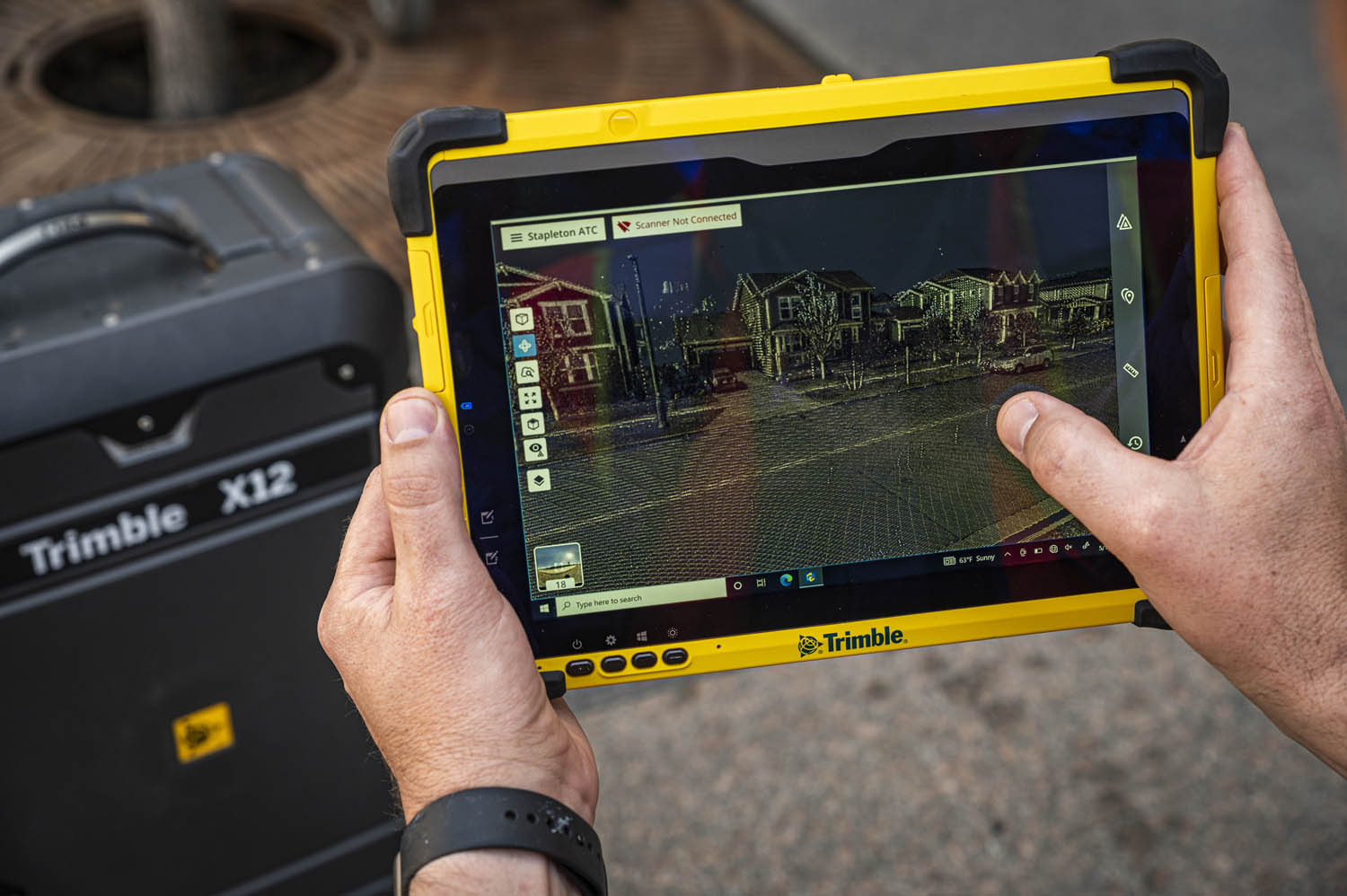
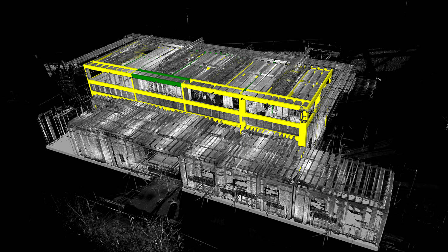
Reality modelling Trimble X12 3D laser scanning system launches Posted by AEC Magazine - August 5, 2022 Integrated site and office environment designed to simplify 3D deliverables
Reality modelling Digital Twin Consortium publishes Reality Capture paper Posted by AEC Magazine - July 18, 2022 Paper introduces fundamentals of reality capture and how to use for digital twins
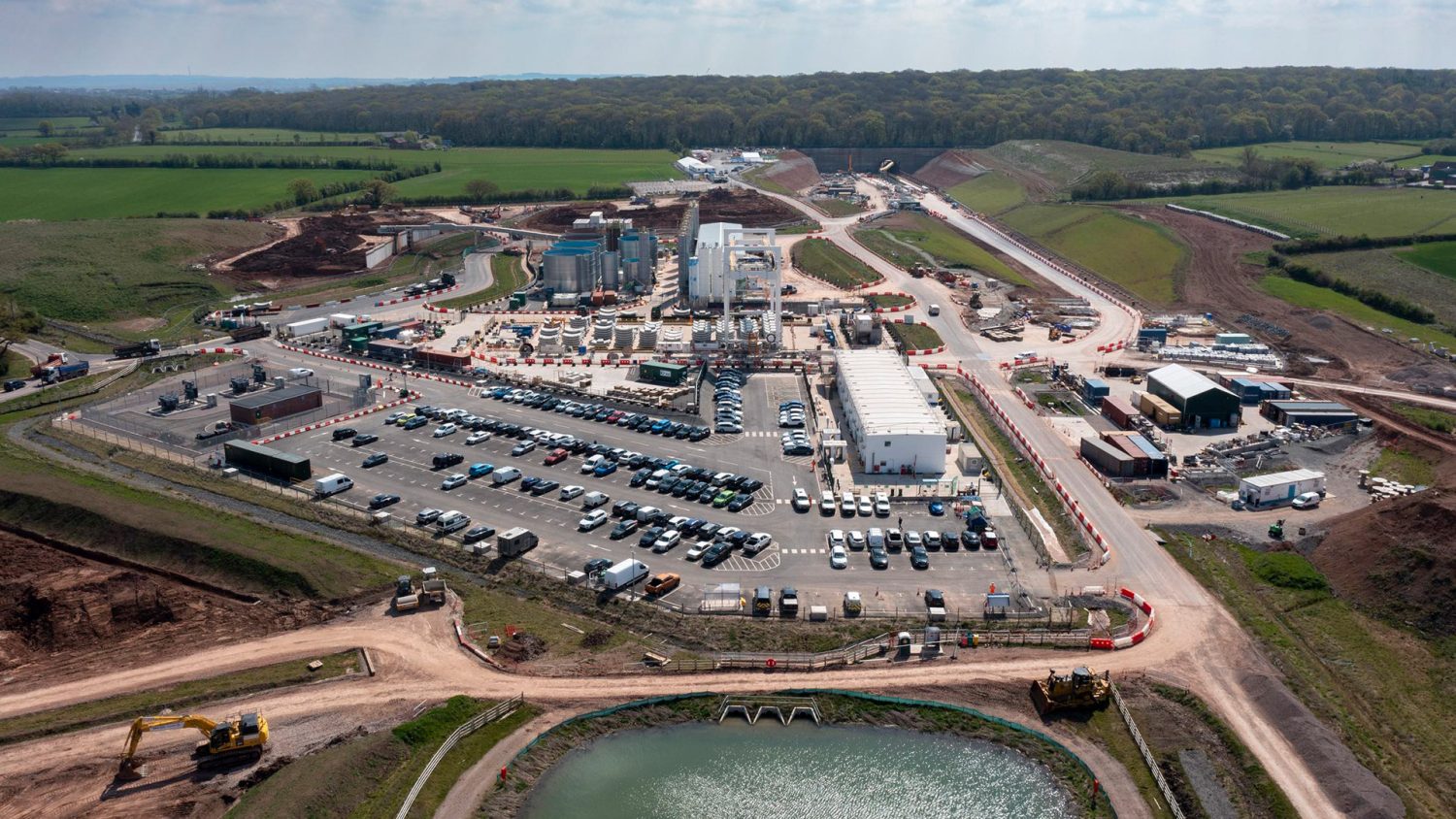
Reality modelling Drone surveys help cut costs on Midlands section of HS2 Posted by AEC Magazine - July 11, 2022 Balfour Beatty VINCI adopts drone software Site Scan for ArcGIS from Esri UK to digitise…
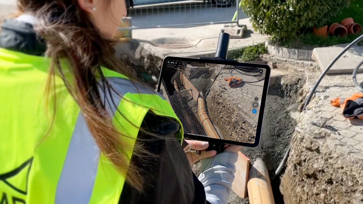
Reality modelling viDoc RTK rover accuracy certified by Bureau Veritas Posted by AEC Magazine - July 12, 2022 Device can be paired with Pix4Dcatch app to gather geotagged LiDAR and photogrammetry data
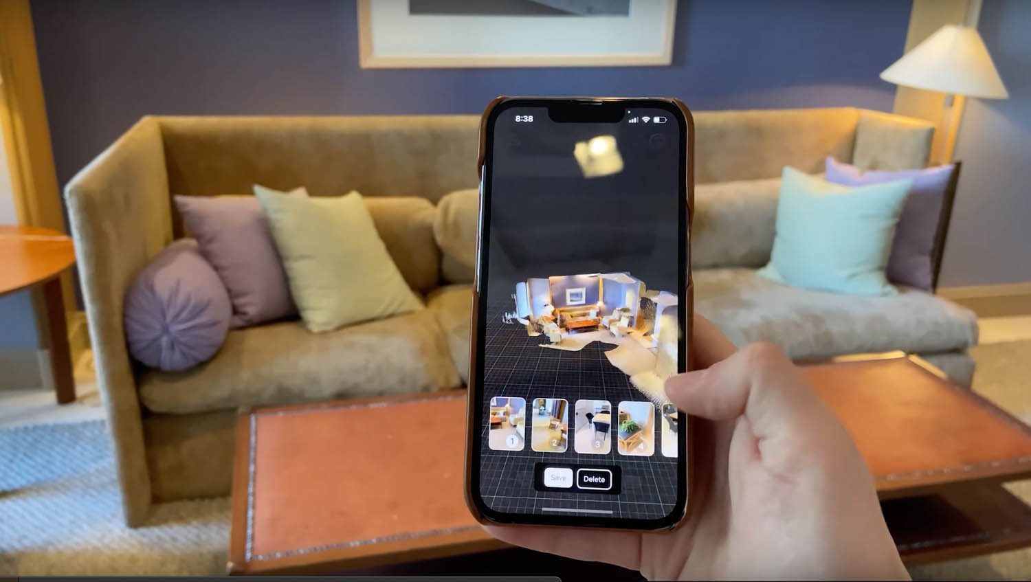
Reality modelling EveryPoint – reality capture with the iPhone Pro Posted by Martyn Day - May 26, 2022 We are about to enter an era where we can quickly and easily capture reality…
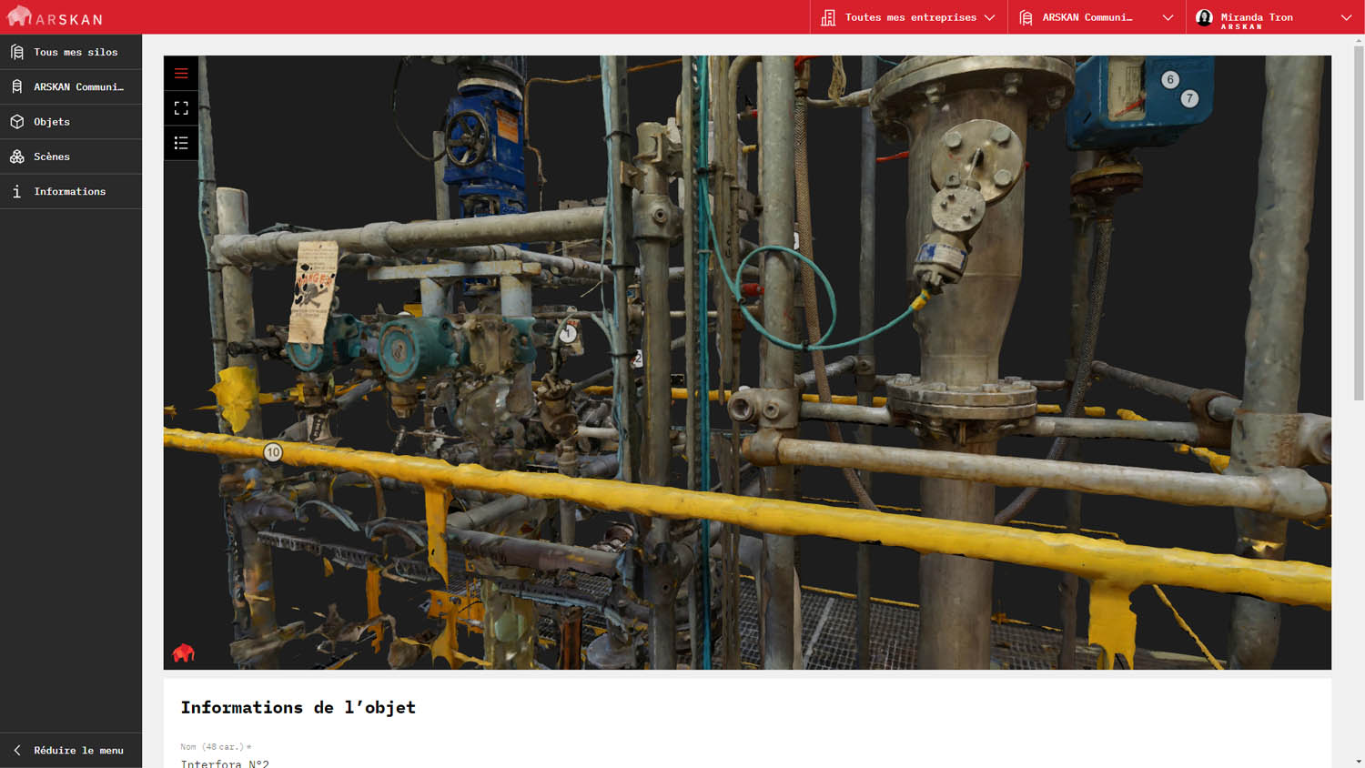
Digital twins Arskan using compressed reality meshes to drive digital twins Posted by AEC Magazine - May 27, 2022 Massive datasets can be stored locally on mobile devices to minimise need for constant connectivity
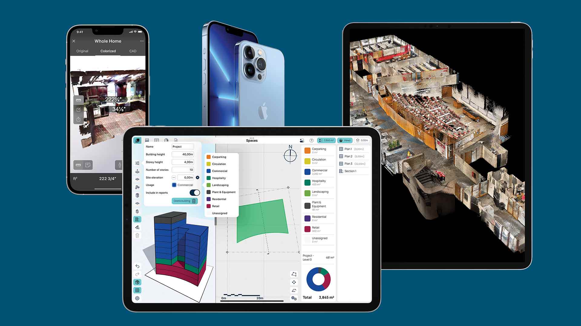
Reality modelling Apple iOS builds foundations in AEC Posted by Martyn Day - May 26, 2022 From concept design to reality capture, a new wave of iOS apps are making their…
Reality modelling The Construction Verification Initiative (CVI) Posted by AEC Magazine - May 20, 2022 Thr CVI aims to promote better work practices to verify and document what actually gets…
Reality modelling Leica Geosystems: HxDR for reality capture Posted by Martyn Day - May 26, 2022 Martyn Day visited Leica at its HQ in Zurich, Switzerland, to learn about the latest…
Reality modelling SiteScape massively expands iPad / iPhone LiDAR scan area Posted by Greg Corke - May 16, 2022 AEC professionals can now combine scans to capture buildings up to 5,000 sqft.