Spatial awareness technology allows for scanning while in motion
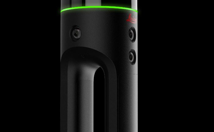
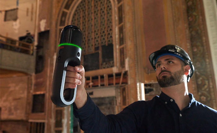
Leica Geosystems, part of Hexagon, has announced the Leica BLK2GO handheld imaging laser scanner, a first-of-its-kind mobile scanner.
Combining two-axis LiDAR with visual SLAM (simultaneous localisation and mapping) technologies, the BLK2GO has spatial awareness to know where it is and where it has been in space and will accurately follow a user’s trajectory while scanning.
A compact handheld design allows a much greater degree of mobility, as well as access to spaces and objects that may have been difficult or impossible to scan before.
With simple, one-button operation and a lightweight design, it should be easy to use for professional and casual users alike.
“The BLK2GO is the next step in the BLK series to democratise technology and create reality capture tools that are intuitive and accessible to users in many industries,” said Burkhard Boeckem, CTO Hexagon’s Geosystems division.
“The BLK2GO is a major leap in technology and advances the powerful yet simple design of the BLK360 and offers much more speed, efficiency and mobility for users.”
When used with the iOS app, users can get live feedback while scanning, check the device status, or do quick data inspection.
The BLK2GO is expected to be available in October 2019.

If you enjoyed this article, subscribe to our email newsletter or print / PDF magazine for FREE


