Offers combination of ‘high accuracy surveying’ and 26,000 points-per-second 3D scanning
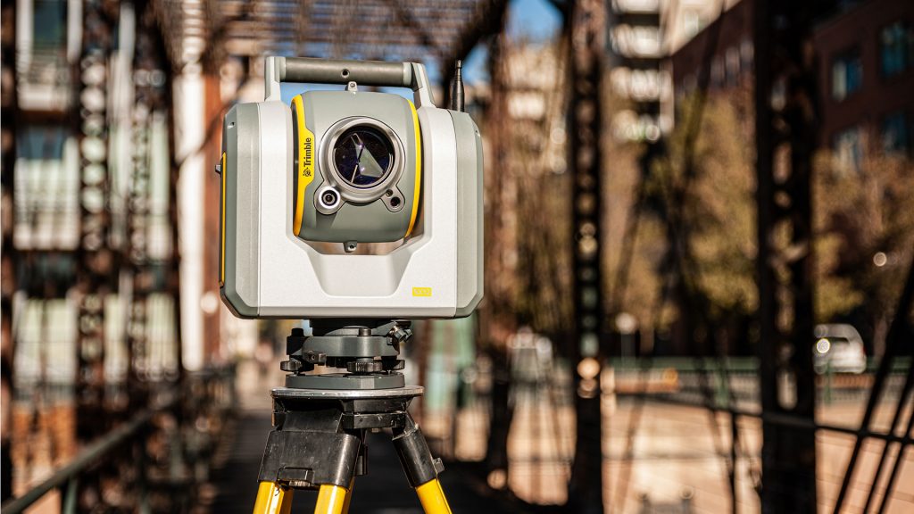
The Trimble SX12 Scanning Total Station is a new 3D scanning total station designed to provide ‘fast and efficient data capture’ for surveying, engineering and geospatial professionals.
The device merges high-speed 3D laser scanning, capturing 26,000 points-per-second, Trimble Vision imaging technology and ‘high-accuracy’ total station measurements.
According to Trimble, this makes it suitable for capturing the location of boundaries, buildings, easements and site improvements in one ‘seamless process’.
Back in the office, engineers can immediately visualise the site and surrounding context, including right-of-way features, encroaching elements and complex structures.
New features of the 3D scanning total station include a high-power laser pointer and a high-resolution camera system.
The green, focusable Class 1M laser pointer is said to be safe for viewing with the naked eye. It offers high-power visibility which makes it easy to see even at a distance, says Trimble.
The improved camera system provides enhanced pointing and site documentation capabilities
“The new SX12 adds more features and applications to an already widely adopted, field-proven scanning total station,” said Gregory Lepere, marketing director of Optical and Imaging for Trimble Geospatial. “The addition of a premium laser pointer completes the picture for surveyors wanting an instrument that can operate as an everyday high-end total station with the added value of scanning and imagery.”
With Trimble Access 2021 Field Software, users can perform accurate measurements or compare 3D scanning as-built data in the field.
According to Trimble, this combination is ideal for infrastructure projects such as utilities, roads, rail, water, transportation and telecom.