NXT BLD NXT BLD 2021 preview Posted by AEC Magazine - June 2, 2021 NXT BLD returns to London in physical form on 9 November 2021
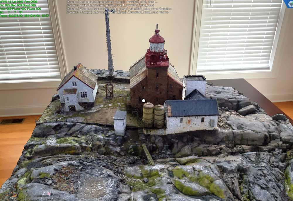
Reality modelling University of Wolverhampton selects Matterport technology Posted by Martyn Day - June 4, 2021 Reality modelling tech to be used in University's School of Architecture and Built Environment
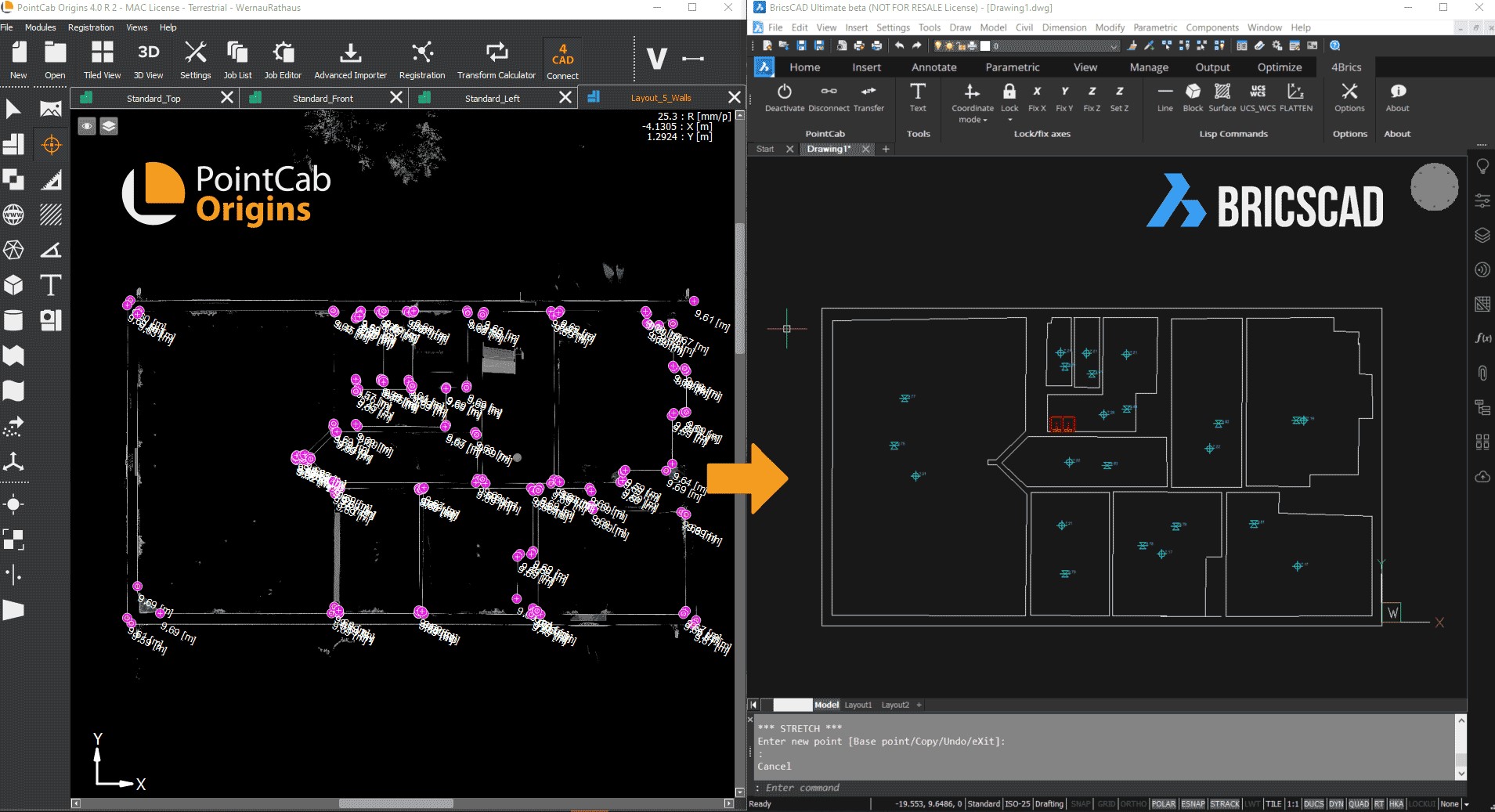
Reality modelling PointCab releases point cloud 4Brics plug-in for BricsCAD Posted by Martyn Day - June 2, 2021 PointCab ports its laser scanning Origins technology to BricsCAD
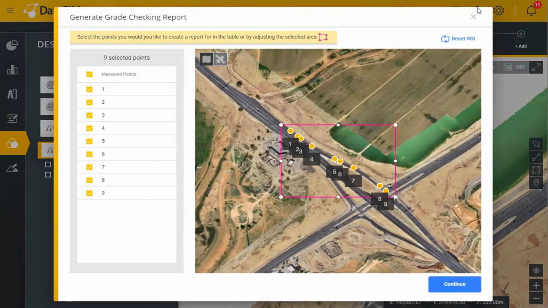
Construction DatuBIM gets automated digital grade checking capability Posted by AEC Magazine - May 21, 2021 Process automation cuts down on labour-intensive and repetitive quality assurance work
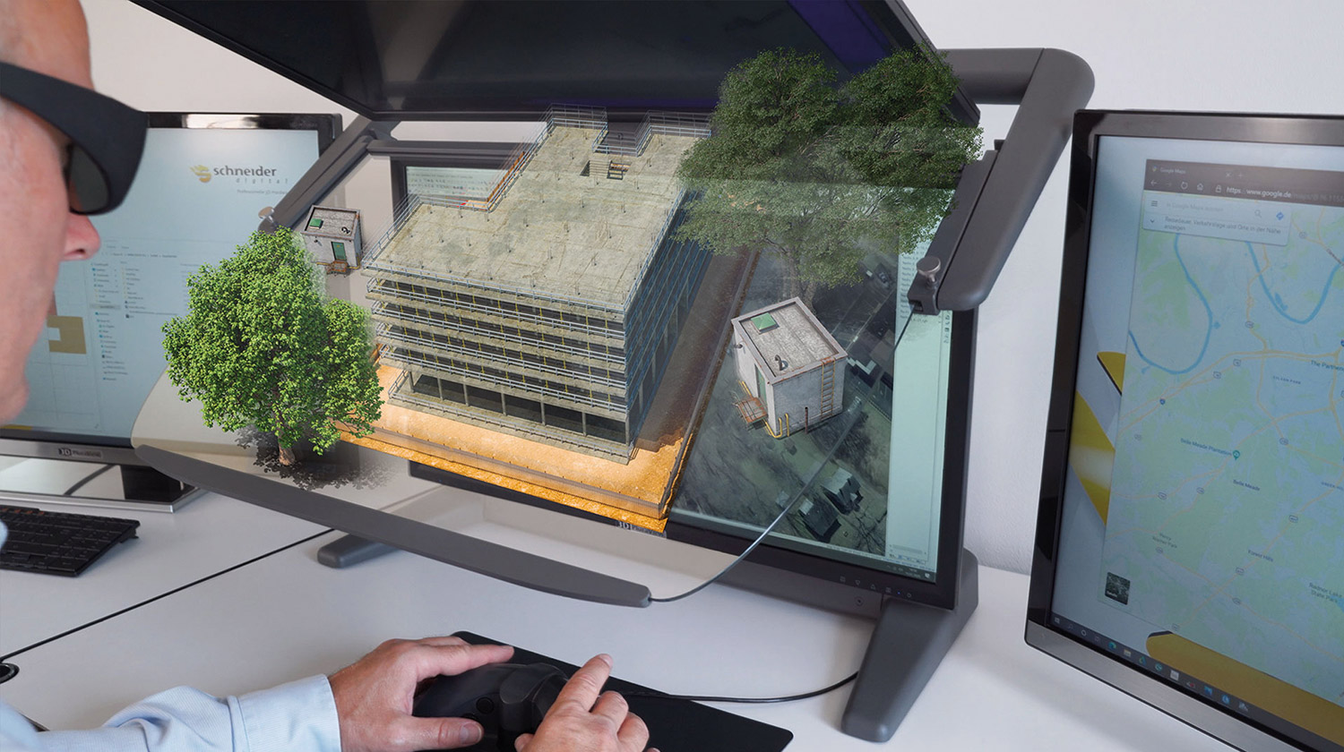
Visualisation Schneider Digital brings 3D stereo to desktop BIM Posted by Greg Corke - May 13, 2021 Schneider Digital's 3D PluraView monitor 'fully compatible' with EliteCAD Architecture
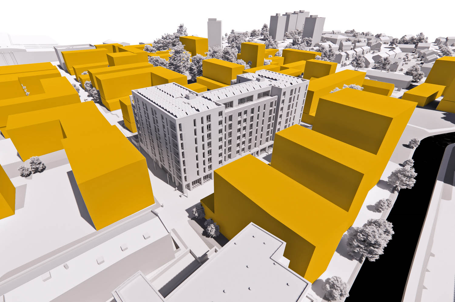
Reality modelling Buttress uses Bluesky 3D models for real-world context Posted by AEC Magazine - May 6, 2021 Photogrammetrically derived models provide true scale context for design proposals
VR/MR AR/MR collaboration tool now supports reality models Posted by AEC Magazine - May 6, 2021 Arvizio Immerse 3D streams drone mapped 3D models and point clouds to AR/MR devices
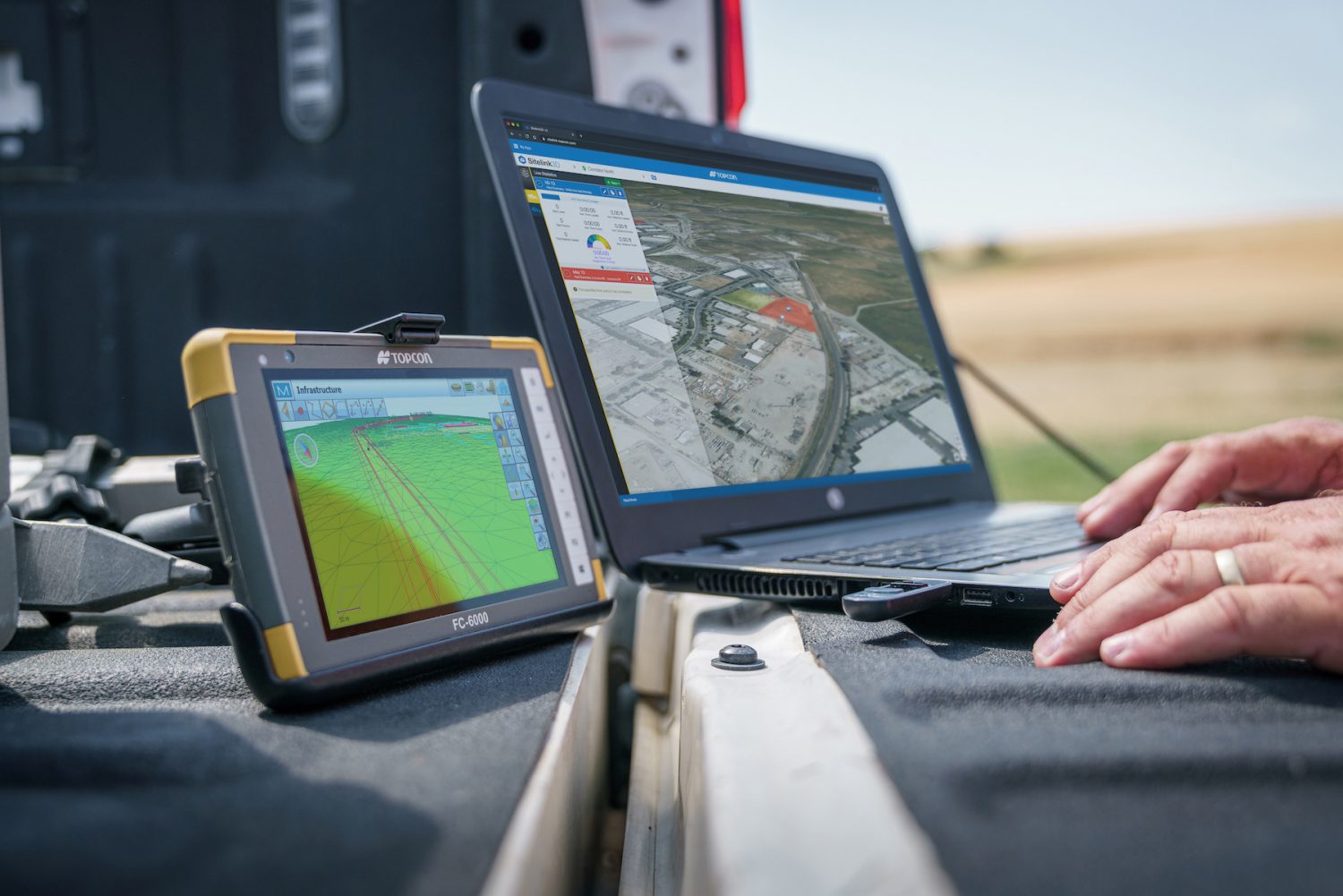
Reality modelling Topcon updates Magnet construction and survey software Posted by AEC Magazine - May 5, 2021 Topcon Magnet 7 designed to enhance digital connectivity between the office and construction site
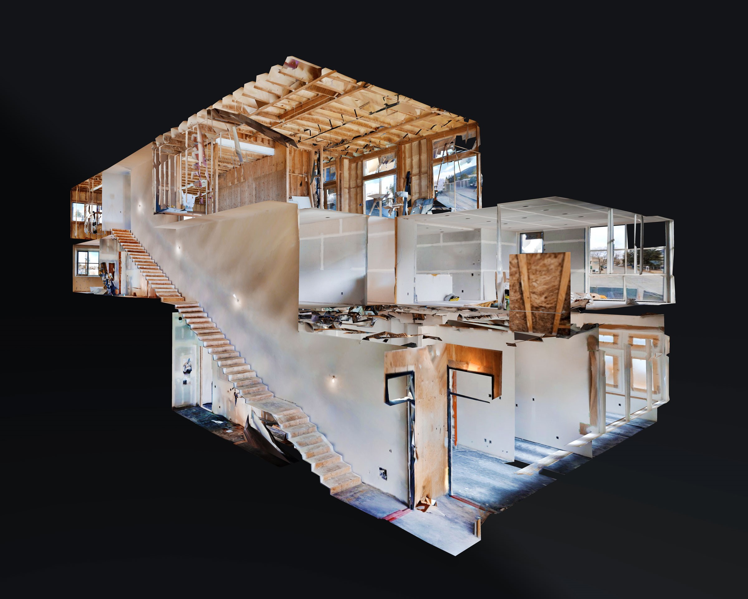
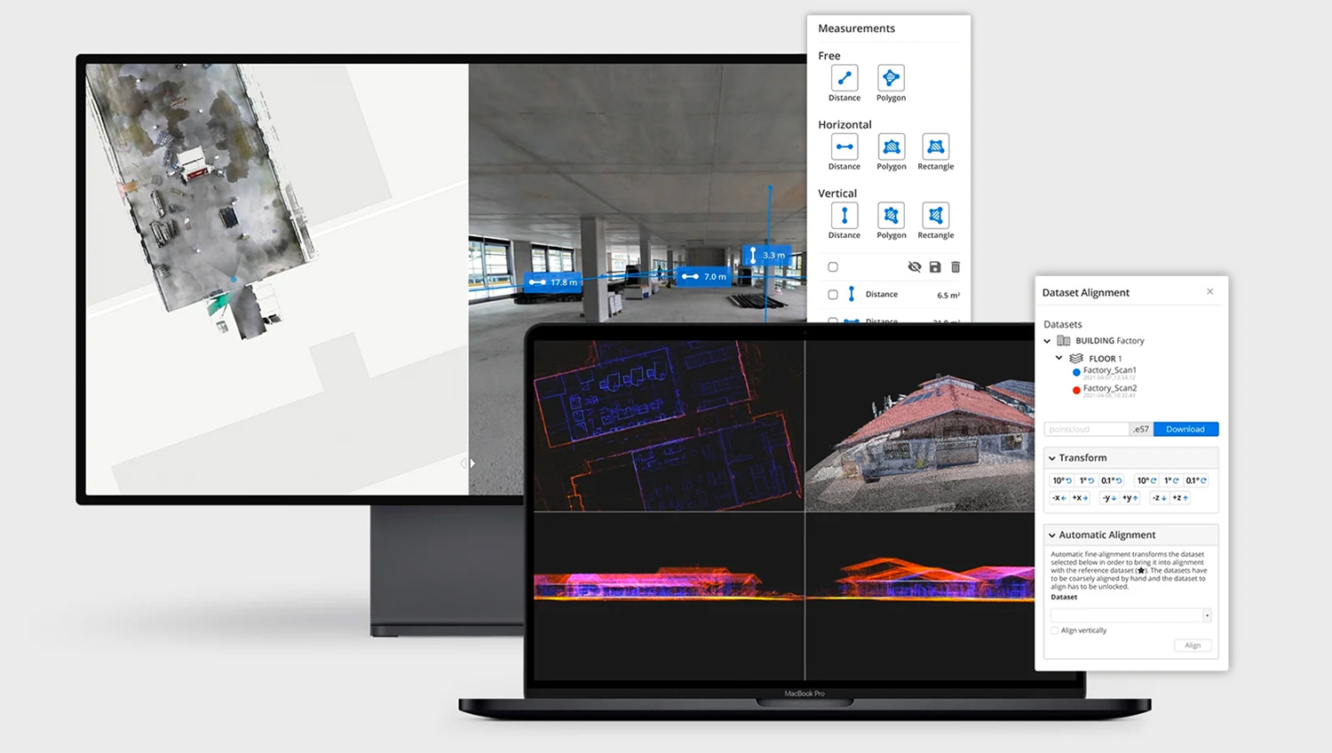
Reality modelling NavVis IVION reality capture platform launches Posted by AEC Magazine - April 22, 2021 Transforms point clouds of buildings and assets into web-based ‘intelligent spaces’
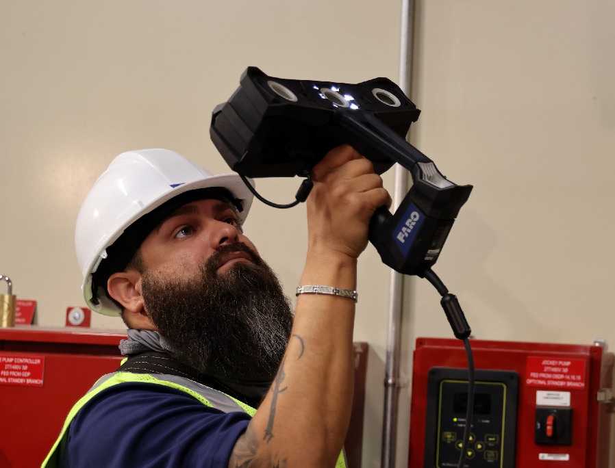
Reality modelling Faro Freestyle 2 handheld scanner for construction Posted by Martyn Day - April 19, 2021 FARO introduces the portable Freestyle 2 Handheld Scanner for on site reality capture