Plex-Earth expands to support BricsCAD with high-quality imagery and terrain data
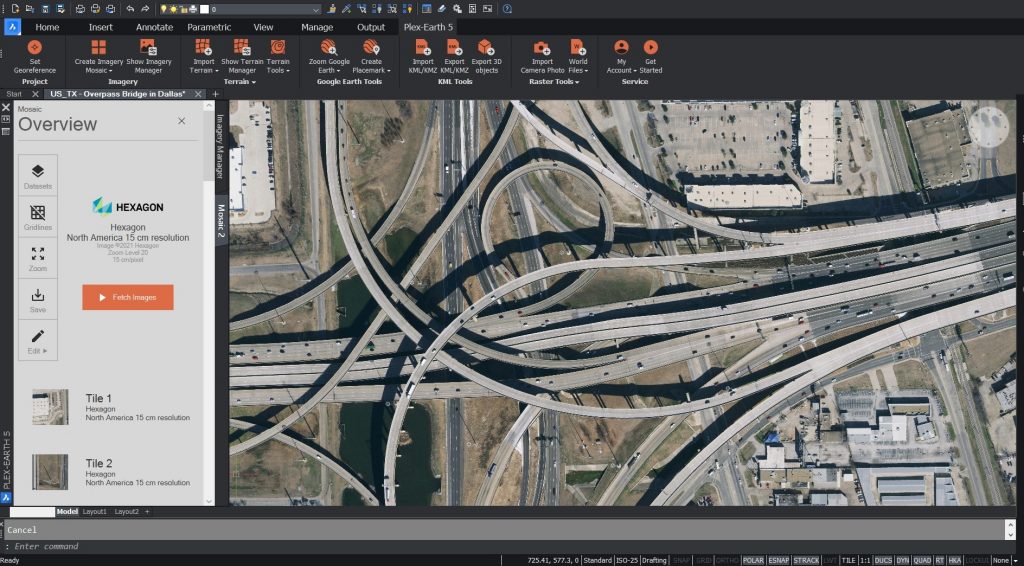
Plex-Earth, a popular aerial and satellite imagery platform for AutoCAD is now available for BricsCAD customers, enabling the import of up to date or historical, high-quality imagery and terrain data.
Plex-Earth leverages the power of imagery from providers like Maxar, Airbus, Nearmap, Hexagon or Google Maps. These are now accessible from within BricsCAD and for visualising designs into Google Earth.
Free imagery sources are often outdated and unsuitable for commercial engineering use, now designers can make full use of Airbus’ and Maxar’s vast historical datasets or Nearmap’s and Hexagon’s ultra-high-resolution imagery to get better precision and track the progress of their projects.
“Ten years ago, being a civil engineer myself, I got a bitter taste of the true cost of rework, leading me to develop a tool that would give me a bird’s eye view of the jobsite and ultimately make me a better engineer,” said Lambros Kaliakatsos, Plexscape founder and CEO.
“Plex-Earth was born back in 2010 out of this necessity and I am truly excited that we have now expanded our unique offering to BricsCAD and businesses of any size through a variety of affordable Plex-Earth subscriptions.
“New content providers will constantly be added and we will soon also include on-demand drone flights in the mix.”
With Plex-Earth’s unique business model, individual engineers, small or large businesses can all have access to premium content from within their preferred CAD environment, for a flat subscription fee and at no extra cost without the need to seek individual companies and commit to large contracts. A fully-functional free trial of Plex-Earth is available here.