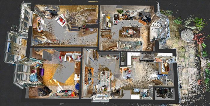
Free software can capture 9 million dimensionally-accurate points in space with a single scan, or roughly 2,000sqft
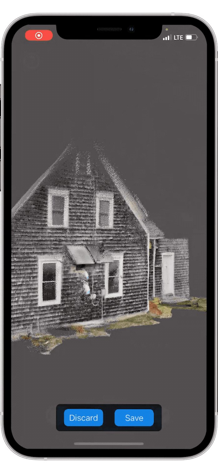
SiteScape, the iOS app that offers free 3D scanning to anyone with a LiDAR-equipped iPhone or iPad, has come out of beta and is now available in the App Store.
This is just the start for the mobile mapping startup, that aims to lower the point of entry for reality capture with point clouds in the AEC sector by making LiDAR more accessible for workflows including progress monitoring, documentation, and remote site access/collaboration.
Learn more about Sitescape and the new Pro features in this in-depth article
The free software allows users to capture 9 million points in space with a single scan, or roughly 2,000sqft, for free. Multiple scans can be captured back to back and then registered into one continuous model.
Rob Nabney at Nabney Plans, an architectural firm based in Christchurch, England, has been using SiteScape to scan existing site conditions to bring into ArchiCAD to share as a visual reference for clients.
“We have been using Sitescape Beta on our iPad Pro for some months now and have found it to be a really useful tool to help us create the as-built architectural model,” he says. “By scanning one or two rooms at a time and then bringing each point cloud into ArchiCAD individually rather than as one big cloud enabled us to mitigate current scan limits. SiteScape’s been perfect for small-to-medium-scale residential projects.”
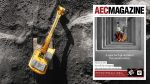
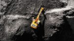
Claw machine cloud point by BirdChen on Sketchfab
When AEC Magazine spoke to Sitescape CEO Andy Putch earlier this year he told us accuracy is around +/- 1″ for linear measurements, while the max range of the LiDAR sensor is 15 feet. “We’ve found that indoors, tracking drift is very low (1″ – 2″) for distances below 40′ and increases for larger distances,” he says.
The software can export PLY point clouds, but there are plans to add more formats in the future. A selection of sample point cloud scans can be found on the SketchFab website
Looking to the future, Putch plans to integrate the technology into BIM workflows. “The true value to customers will lie in a platform that organizes scan data, provides analytics/collaboration tools, workflow support, and integrates with industry tools like Procore, PlanGrid, or BIM 360,” he adds.
SiteScape is compatible with all LiDAR-enabled Apple devices: the iPhone 12 Pro, iPhone 12 Pro Max, 4th gen iPad Pro 12.9”, and 2nd gen iPad Pro 11”.
If you enjoyed this article, subscribe to our email newsletter or print / PDF magazine for FREE