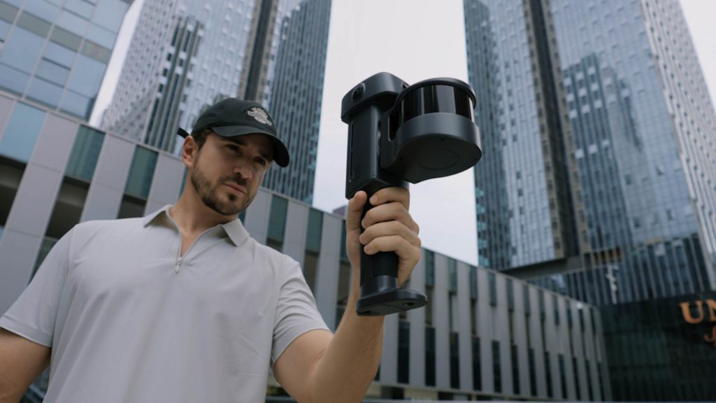

Handheld device can capture true-colour point clouds, detailed meshes and photorealistic gaussian splats in a single workflow.
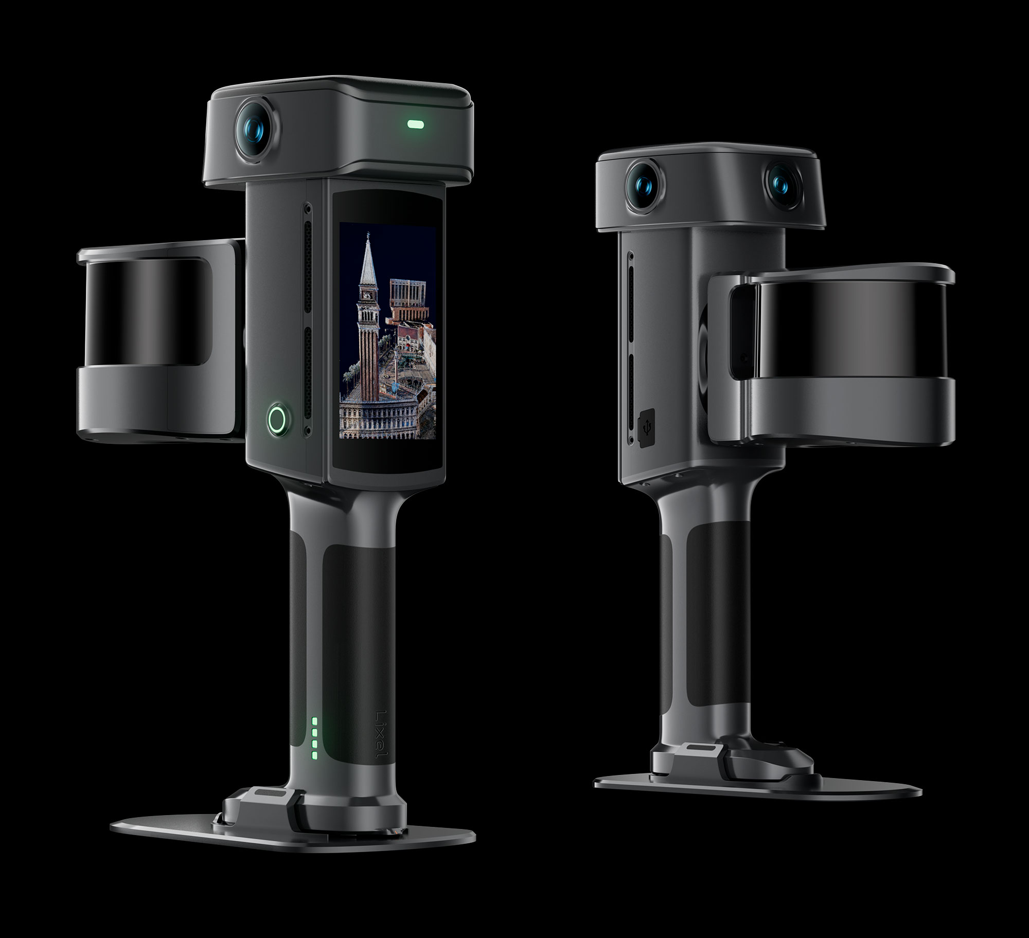
XGrids has unveiled the Lixel L3, a handheld spatial scanner that combines LiDAR, true-colour imaging, Real-Time Kinematic (RTK) positioning and a built-in display in a single system
XGrids says the device can capture true-colour point clouds, detailed meshes and photorealistic 3D Gaussian Splatting (3DGS) models in a single workflow and can deliver a validated relative accuracy of 5 mm and a real-time absolute accuracy of 2.5 cm.
According to the company, the scanner can cover around 100 square metres in 10 minutes when capturing high-accuracy data and photorealistic 3D models.
The L3 uses an integrated SLAM system alongside vision-aided localisation and levelling optimisation to maintain scan stability and limit accumulated drift during longer scanning sessions. Its 1/1.3-inch CMOS 4K HDR imaging system is designed to capture colour, dynamic range and surface detail.
The scanner features a 4.3-inch display showing scan status, trajectory and coverage in the field. Map fusion enables multiple scans to be aligned without preset control points, while privacy tools can automatically blur faces and vehicle licence plates in exported data.
XGrids is also positioning the L3 around the growing adoption of gaussian splats in professional workflows. Autodesk and Trimble have introduced 3DGS capabilities in 3ds Max and SketchUp respectively, while XGrids says its proprietary LCC2 format can now be imported to Revit and SketchUp.